GIS is changing, and perhaps the tools and workflows changing GIS the most these days is Artificial Intelligence, or AI. I have been conducting hands-on AI GIS (or "Geo AI") workshops and short courses for 3 years, and am using this space to share its latest contents in the hopes that it will be useful to many.
The hands-on component includes 9 short demo videos that are easy to incorporate in a story map briefing such as this. Try it sometime! It reduces the need to go to YouTube for your videos and keeps attention focused within the story map briefing. New in this past release of the content are 2 activities where students use and evaluate AI tools to assemble data sets before the data sets are brought into a GIS, and also new is the extraction of information from a photograph in a field survey (such as "how many bicycles are in this photo?" "how many trees are showing evidence of pine beetle damage?"
While the intention is to provide short, meaningful, hands-on components to the many AI in education resources posted by myself in my data and society blog and myself and my colleagues in this Esri Education Community space, there are plenty of discussion points for you, your colleagues, and your students, including "why are we using AI in GIS education in the first place?", understanding risks and challenges, 3 tenets of teaching AI in GIS, and 4 implications for education.
Audience: Higher education students and faculty in GIScience, geography, and other disciplines.
Format: The data, tools, and workflows are online, so the short course is suitable for teaching in face-to-face, hybrid, or fully online formats.
Workshop description: GeoAI – the fusion of artificial intelligence with geographic data – is transforming how we solve spatial problems. This workshop/short course equips educators and students with knowledge and tools to integrate GeoAI into their teaching and learning. Participants will explore practical applications of GeoAI and AI Assistants for collecting, mapping, analyzing, and communicating data and information. In addition, we will discuss fostering skills in the ethics of GIS In today’s AI environment.
All content, lessons, and links are in this Story Map Briefing:
https://storymaps.arcgis.com/briefings/16b991f896494a34874e236c8da9fdbf

Course contents:
1. What is Geo AI?
2. Why teach with Geo AI and learn Geo AI?
3. Options to use Geo AI in ArcGIS.
4. Activities:
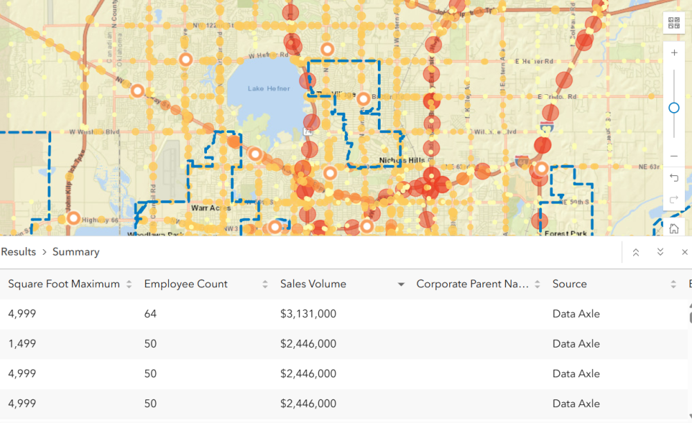
(1) Generate Spatial Data with AI tools for GIS Visualization and Analysis: Business Lesson.
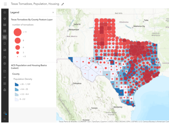
(2) Generate Spatial Data with AI tools for GIS Visualization and Analysis: Natural Hazards Lesson.
(3) Generate popups using AI tools in Arcade.
(4) Use the documentation assistant and item details assistant. I recently reviewed the item details assistant on my data & society blog, here:
https://spatialreserves.wordpress.com/2026/06/29/the-item-details-assistant-in-arcgis-online-will-aid-in-metadata-creation/
(5) Generate ArcGIS Survey123 with AI assistant.
(6) Extract information from images using generative AI.
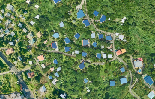
(7) Extract features from imagery.
(8) Use AI assistants to generate a story map.
(9) Explore business and behavior patterns with Business Analyst Web App AI tools.
5. Resources for continuing your learning journey
I look forward to your reactions to this content, and how you teach with AI in GIS.
--Joseph Kerski
