Good afternoon,
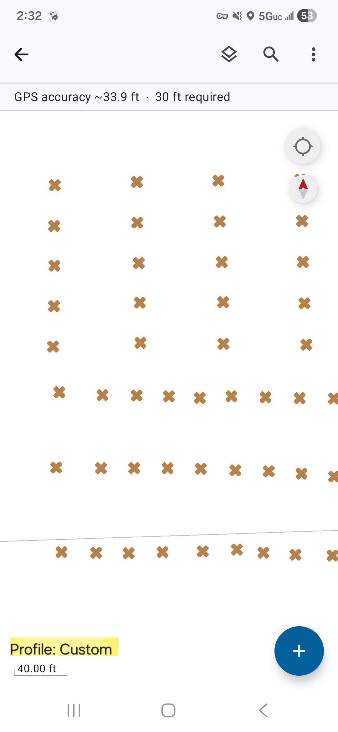
I am wondering if there is any way to display a set location profile on the actual map when collecting? I just ran into an issue of accidently collecting and marking points of interest in the field under the "Default" profile instead of my "Custom" profile. I know I should've done my due diligence and check my equipment configurations prior to starting the project, but this was something I overlooked while under pressure to complete a time sensitive project. If there's a way to do this, or maybe autofill this info on a feature layers field, it would help tremendously to avoid this type of mistake in the future. Any help, advice or suggestion is appreciated. Thank you.
Highlighted below is just an example of how I picture being able to display the profile on the map (this is just an edited screen shot with text over it.)