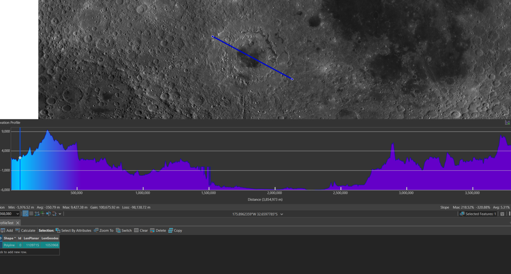
When creating elevation profiles with Exploratory 3D Analysis geodesic ground distances are tied to Earth, regardless of the datum for the source DEM. This was identified when creating profiles over large features on the Moon, where the difference between planar and geodesic distances is significant. After reprojecting the DEM to Moon 2000 GCS all measurements were more than 3x the real ground distance which is consistent with the radius difference.
This screenshot illustrates the error; the actual planar and geodesic measurements are in the attribute table.