The North Central Texas Council of Governments (NCTCOG) serves a 16-county region anchored by the Dallas–Fort Worth metropolitan area, NCTCOG is a voluntary association that promotes cooperation among more than 250 local governments serving more than 8.7 million residents.
As the organization’s GIS footprint expanded from a handful of licenses into a full enterprise deployment, the NCTCOG GIS team found its critical infrastructure increasingly difficult to manage.
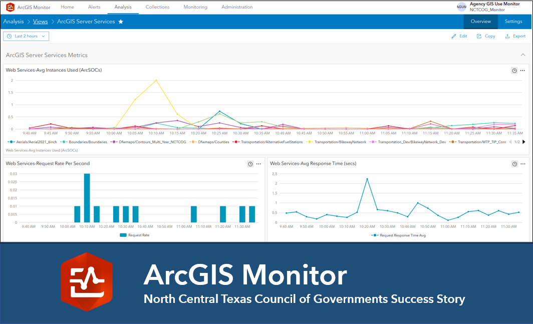
This expansion created an urgent need for a monitoring tool that could provide clear, real-time insight into the entire enterprise framework. The solution, ArcGIS Monitor, enabled NCTCOG to shift from a reactive GIS management approach to a proactive one.
ArcGIS Monitor Brings New Insights to New Complexities