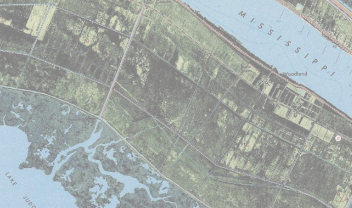
I think the USGS thought integrating aerials into their topos would be helpful and created a few that look like the image below, unfortunately. When this topo layer draws, I see a 'pure topo' layer draw first, then the (unwanted) aerial draws over it. Is there a way to remove the aerial portion and liberate the topo underneath? Thank you,