I was making some GeoTIFFs of a map the other day and noticed something unexpected. When I export them with no projected coordinate system and only a geographic one assigned, it produces a raster that Pro & ArcMap cannot read, they show up as unknown coordinate system and are located incorrectly. When I put them in a projected coordinate system Arc finds and locates them fine. (it doesn't seem to make a difference if I have the GeoTIFF tag box checked or not) This is for making a TIF out of a map, not just some raster dataset, so the output coordinate system is set via the Map properties/data frame/map tab, ie this thing below:
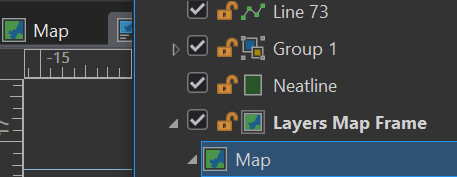
And not via any GP tools or the like.
My question is why? Shouldn't Arc at least be able to read what the output GCS is? Its like it can't read its own output? Is this a bug?