I have a site that operates on a local coordinate system that is rotated almost 30° off grid north. I want to create a transformation between this local system and state plane to be able to export CAD linework and points to state plane locations.
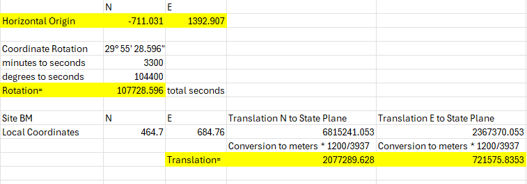
So far, I have modified a projected coordinate system based on the site calibration file from the survey team.
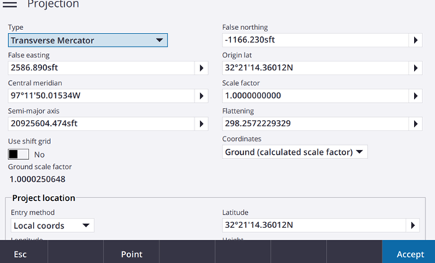
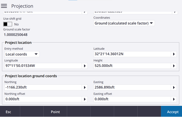
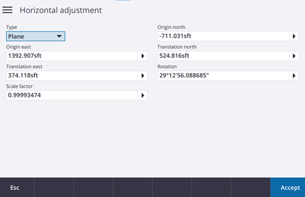
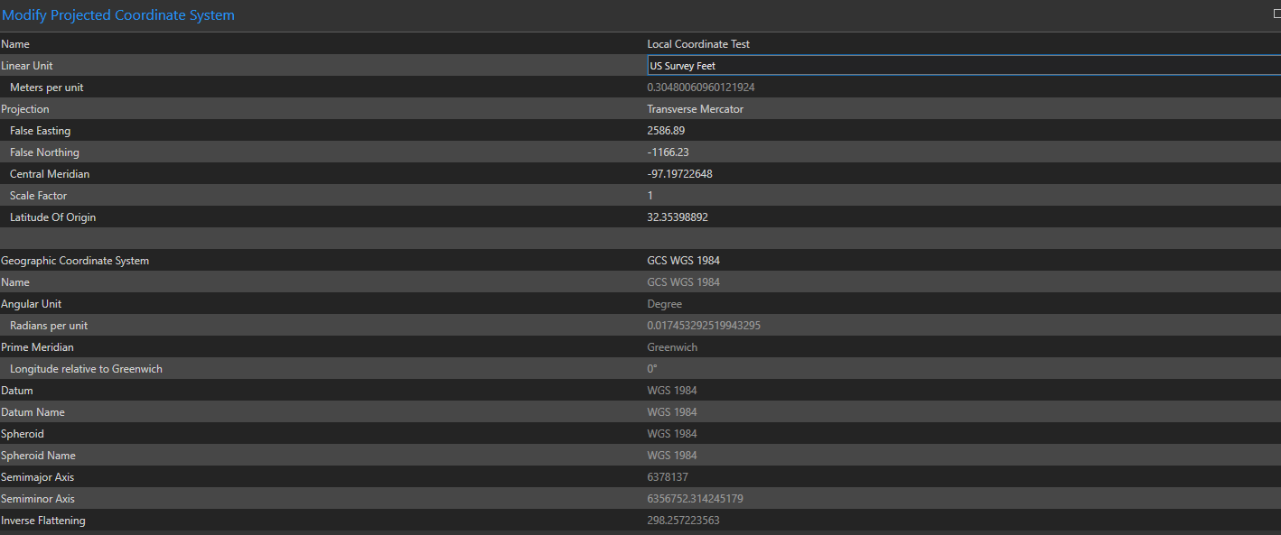
These settings seem to have the correct scale and coordinate values, but there is still the issue of the 30° rotation.
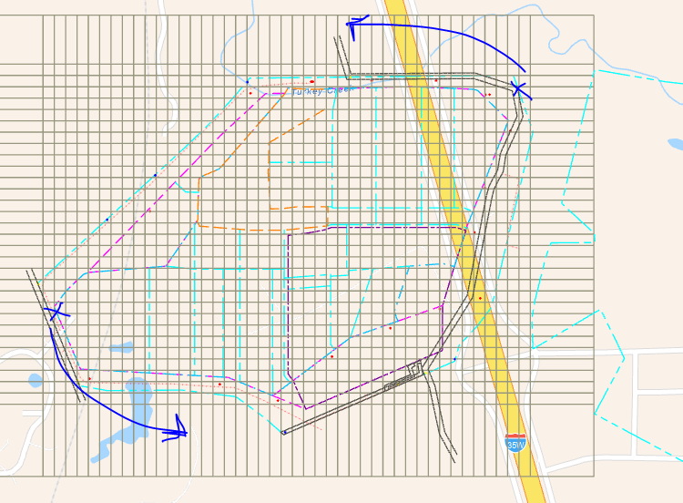
Next I tried to create a "translate and rotate" under the "Create Custom Geographic Transformation" tool. Molodensky Badekas is only one that seems to provide the translate / rotate options.
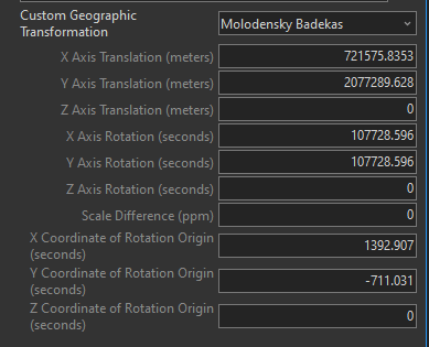
After this, it gets kooky. I can't zoom in closer than 1:2,000,000 scale, so I can't even tell if it worked or not. From what I can see, it doesn't look like the rotation worked either. There is very little documentation (that I have found) trying to do this, so I am at a loss where to start troubleshooting.
Any advise related to the zoom issue and the Create Custom Geographic Transformation tool appreciated.

