I'm working with a fire department that created their own map books decades ago. I have a polygon layer of the map pages. It looks like the map polygons are different dimensions based on population density. The map covers approximately 8000 sq miles. There are 8200 ish of these map pages.
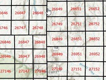
Each page (based on the polygon size) has an index of points.
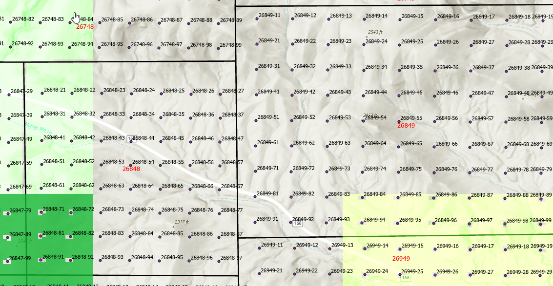
I'm trying to figure out a way to subdivide the page polygons based on the index points, into smaller polygons. For Example, page 26848 turns into the evenly divided 49 polygons representing the index points, with the point as the center of the new smaller grid.
Thoughts on how to do this?



