I have several layers in WAB app and some work with Set as input of Geoprocessing and some give this error. Several of us testing and we can find no pattern at all. Map services vs feature services etc and it seems random which work and which do not. This is true for all of our GP tools and its been going on for years we just usually give up on it. But I like the less clicks.
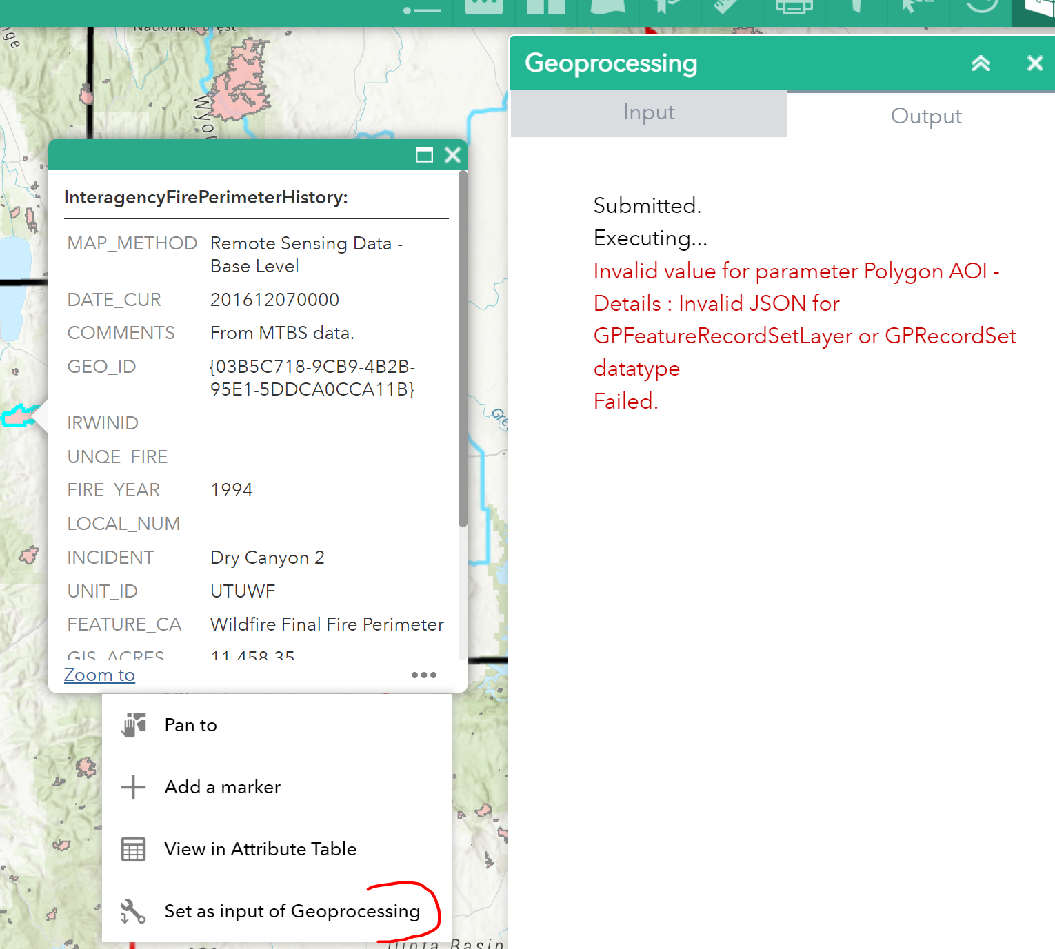
What settings am I missing here?
About all I see different on the services is
Supported Query Formats: JSON, geoJSON, PBF
vs
Supported query Formats: JSON
Toolbox is set to

Select widget is ignored too but that is expected.
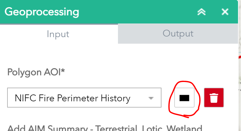
Doing it this way seems to always work but its not as easy.
Thanks a lot

