Hello ESRI Community!
I am currently working on a project where I am designing a field map in Portal (10.9.1). The layer that I am trying to configure the form for was created from a Survey 123. There is a field in the form called "FSA" that I configured in the survey to be populated based on a polygon area, so the field will be filled out based on what FSA the point falls within. I am trying to do the same thing in the Field Map to have the FSA field auto-fill, but am running into issues. None of the FeatureSet functions are available, which I want to use to do the calculation, and the only expressions I can write are for conditional visibility.
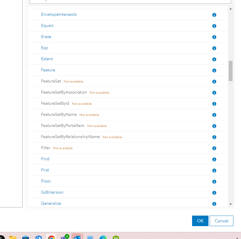
Is there any way to do this calculation to populate the polygon name that contains the point within the FSA field?
Additionally, on the survey, I am able to reverse geocode the point address into a "Service Address" field, so the technicians don't need to manually enter their address. Is there a way to do this in Field Maps? I am still learning Field Maps and need a little bit of help! Thanks so much and please help if you can!

