hello esri friendship
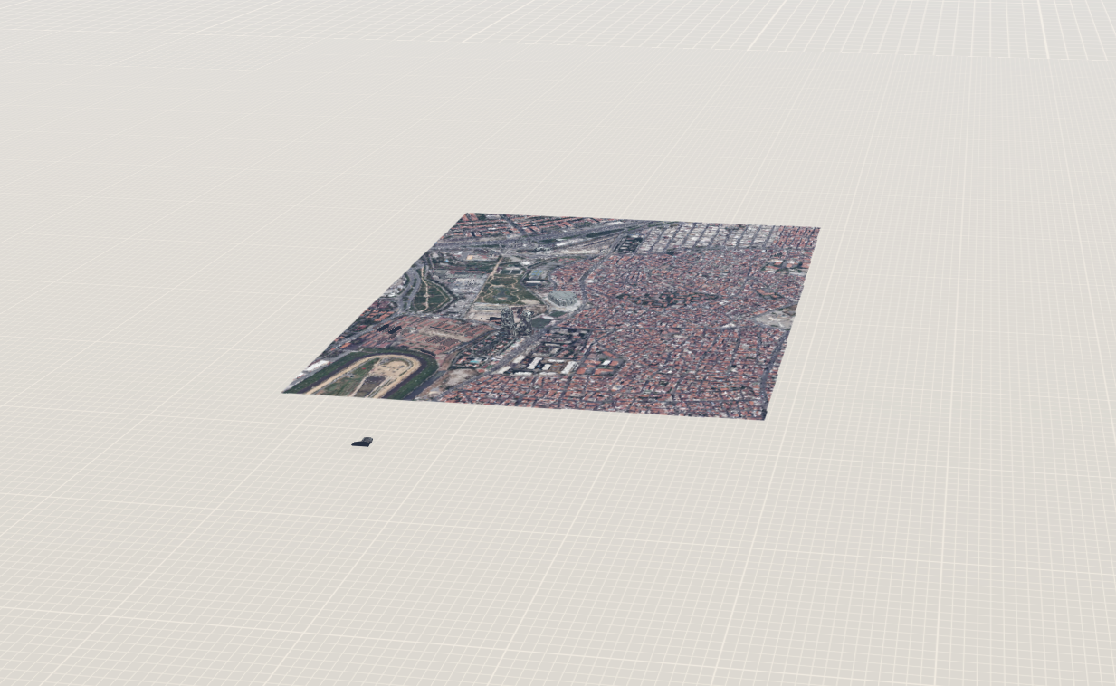
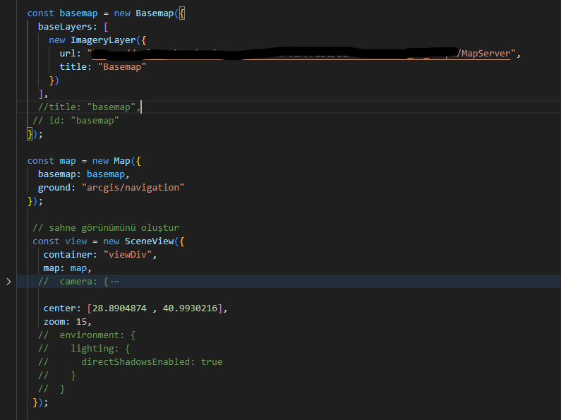
i want to use my own satellite image as a basemap. I am not sure if I am doing this correctly. How can I destroy a grid model like the one you see in the picture after adding the data.
How can I set the coordinates of my scene to a certain range (like max-x, min-x, max-y , min-y).