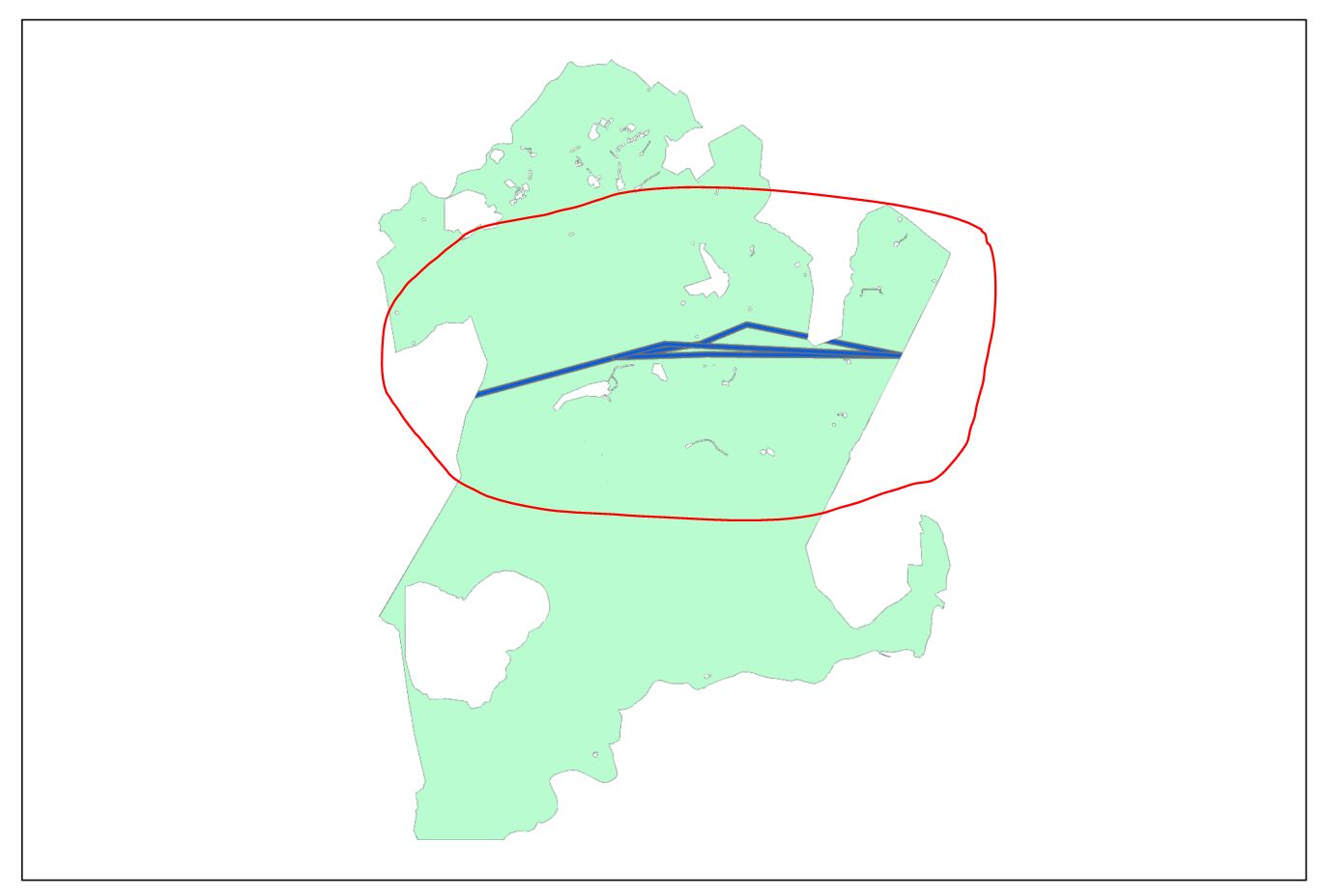
Fellow GIS professionals, I have a polygon feature containing individual polygon for each land parcel, which is intersected by another polygon/and polyline containing power lines and powerlines buffers, I need to create MapSeries for each parcel, clipping the powerlines within the extent of that specific parcel only, which is simple. But!! I also need to export the MapSeries zooming into the area of intersection only, and not the whole (default) full extent of the parcel, map series extent options are limited to best fit, fixed scale, or scale from field, is there is a way to achieve this, maybe through ArcPy? In example picture attached, I want to only zoom-in to the area marked in red as an example, in each of the parcel plans.
Thanks in advance.

