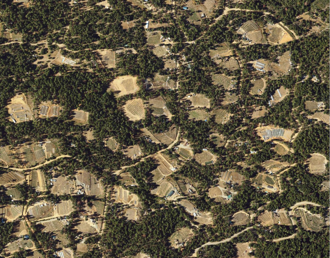
I'm brand new to using deep learning models. Can someone point me to a good starting place for trying to "detect" cannabis cultivation sites? I have a mix of imagery available - but primarily 1 meter NAIP imagery. I do have better resolution imagery for some areas. I've included a screenshot which shows some typical cannabis cultivation activity. Ideally I would like to end up with a layer outlining the cannabis grows. Can anyone suggest a deep learning model that I should start with? Our current process involves staff digitizing polygons of grow sites one at a time!