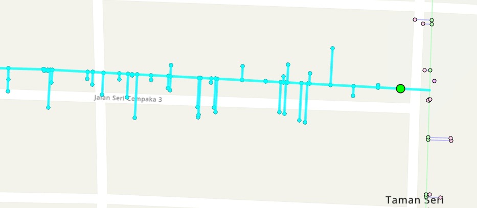
Hi, we try downstream tracing using our waterpipe line data, and we confused with the results.
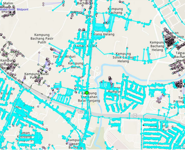
For example, if we put the start point at the main pipe in the result is as shown in figure below. Its look like it trace the entire area.
However, when we trace in smaller area(for example we put the starting point at the residential area, the result as shown below. it looks like inconsistent output or actually the result is correct?