Hello all,
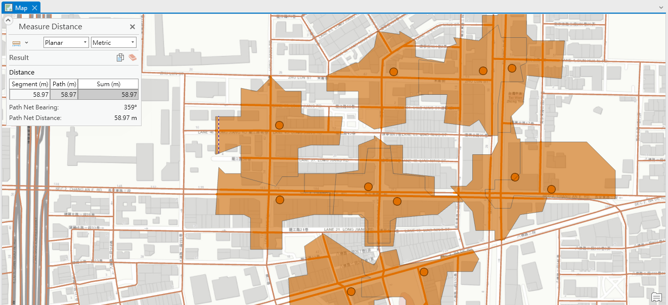
I'm looking for a way to explain how the various distances(as being measured in the figure) that make up service area were decided by the service area solver in ArcGIS Pro 3.2.1.
I failed to find any account of it in the esri help archive and have found no related descission here in the community. So I'm wondering if there's any way that I can check how the solver works, aspecially in this aspect, or access documents that might help me to figure it out?
Any answer helps to enrich my understanding to it(which is now "some algorithm did it") is appreciated!
Thanks in advance.