Hi,
I am looking to publish a webmap of our UN. This will be the go to map for most of our users to search, locate and query assets. I was wondering what are some of the strategies that others have used to get the best performance?
Here was my train of thought -
1) Subtype Group Layers - While functional in ArcPro, the mapviewer doesn't support select tool. And also, it does something weird where when I zoom out, it will draw all features before applying the visibility range filters. I gave up on this option after reading the support for group type layers is still to come.
2)Definition Queries - Add multiple instances of the same layer but use definition queries to get different subtypes? Eg
Electric Device -> ICP
Electric Device -> Transformers
Electric Device -> Switches
I liked this approach because it does give the map users control over toggling the layers on and off.
I wonder though, does this increase the number of queries going to DB and affect performance? Would the above scenario make 3 sets of calls?
Symbology Scales - Use one layer in the map and use symbology scales to define the different scales.
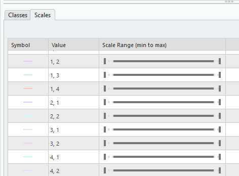
This does come with it's challenges though - labels will need multiple classes set up, cannot toggle visibilty of certain features within the layer.
Keen to ensure our Webmap experience is fast and fluid 🙂


