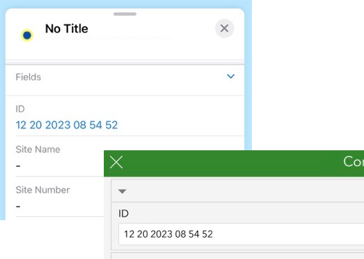
I have a point layer with (1:M) related tables; I use Field Maps for adding/updating the geometry and Survey123 for the forms (related tables).
The layer has a unique ID field that is created with this code: Text(Now(), 'MM DD Y hh mm ss').
This ID is the common key between the geometry and the tables. (I prefer using this readable ID over GlobalID).
The problem is that if I later update the location or any of the attributes of the point, the ID changes as well (based on the time of the updates), and it breaks the relationships between the geometry and the related table (that is still referring to the original ID).
Is there a way to prevent updating certain attributes when editing, so the ID is generated and assigned only during the initial creation of the point feature?