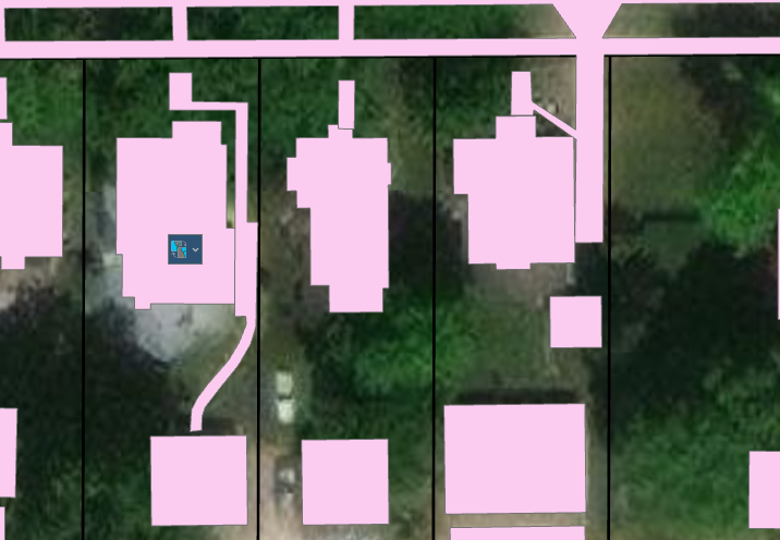
I just received some impervious data that I have merged with my building footprints to create 1 layer. However I would like those separate boundaries gone within each parcel. I can't quite figure out how to do that without just creating 1 row in my table.
This is necessary so I can start to calculate the impervious surface % in each parcel and not have inaccurate data due to some of the building footprints and say sidewalks overlapping.