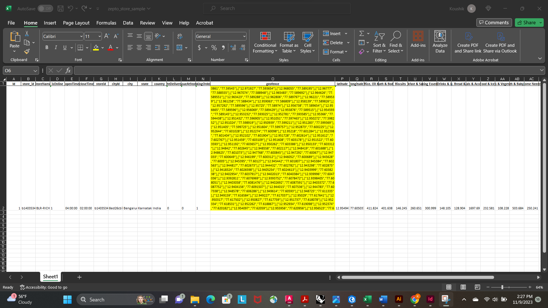
I have multiple coordinates in one field which represent a geofence or a polygon of influence. How do I plot these points ? XY to Point allows just one. The image below shoes the coordinates represented as lat/long. Is there a way I can automate this or is there a particular tool?