Using ArcGIS Pro 3.1.2.
Two questions about using the "Trace Downstream" tool.
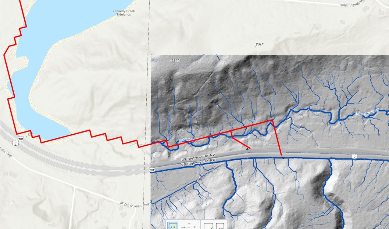
1. I'm using the "Finest" data source resolution, but the flowpath lines are jagged and don't really conform to the topography well. Attached photo (red is the Trace Flowpath line, blue is actual stream). Is there a way to fix this? Or maybe the default map resolution is not fine enough?
2. Is there a way I can draw a box and trace numerous points from that box downstream? I suppose I could click multiple points, but I wonder if there is a more simple, accurate way.
Thank you.