Hi,
I'm not totally sure if this is the correct place to ask this question but hopefully someone can point me in a good direction.
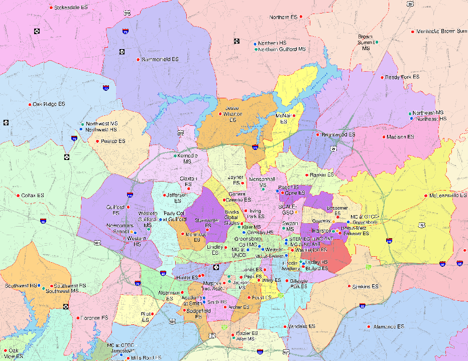
I'm working on digitizing polygons from a printed map that I converted to a .tiff and there are quite a few polygons so I'm trying to automate the process. I haven't done much work with image processing like this. Below is a screenshot of one of my maps.
I'm looking into GDAL/OGR, ORFEO, ImageJ but I'm just not sure how to get started, or if this is even possible. Is the best route to digitize manually, or is there a way to automate?