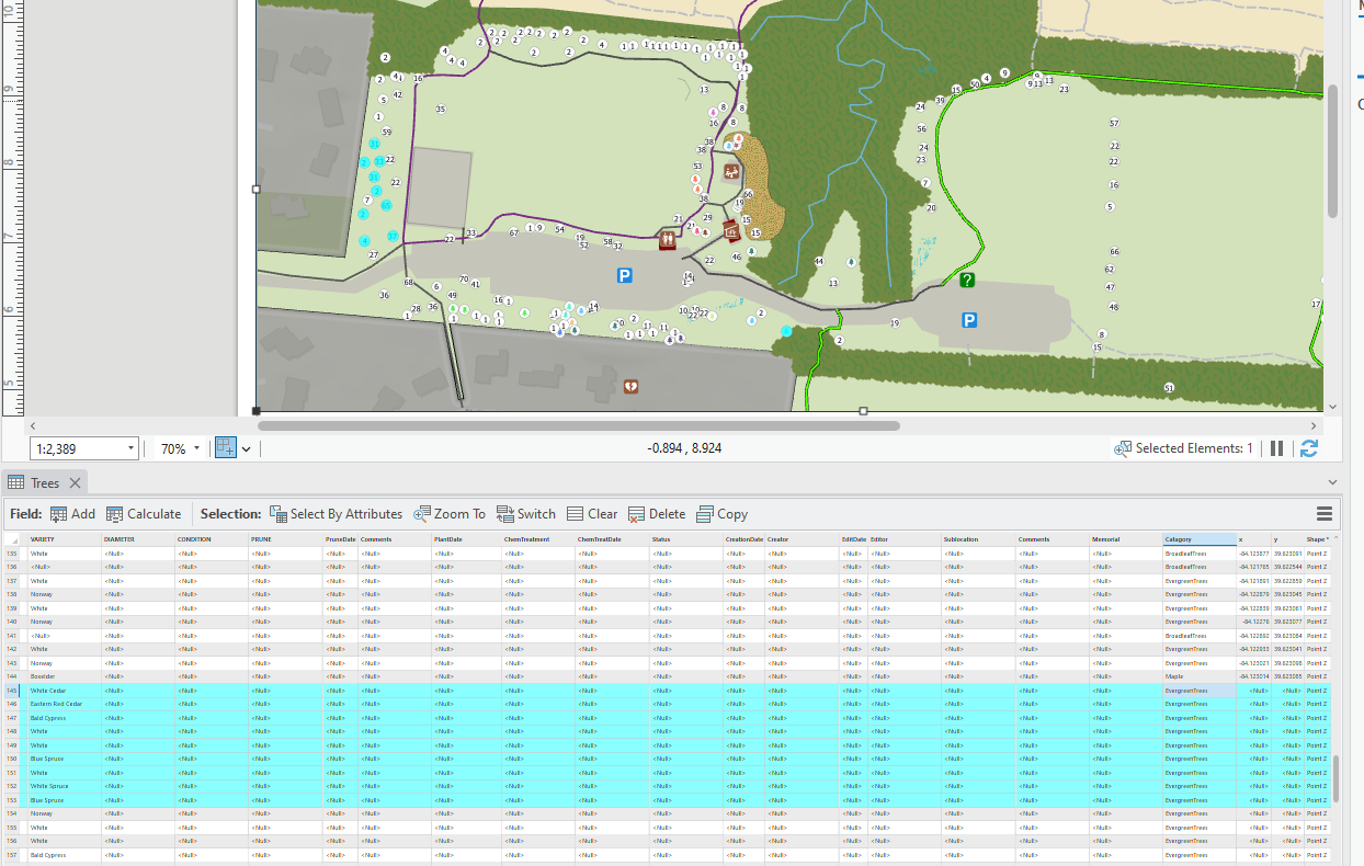
I have points loaded in... Some of it I got from collector/field maps. Some of the points i just used the creaat tool in pro. Im not sure if this is relevelnt but i exported the table into excel for some data cleaning and then i updataed it on Online because i have it as a hosted feature layer. I don't exactly know what happend or if i accedntily deleted it at some point or when it disappeared.
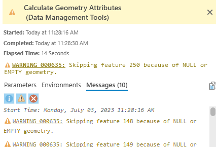
My first thought was to do calculate geometry but that gives me this and doesn't do me any good.
Is the only way to manually enter each coordinate in the attribute table?
So the points are still loaded in pro but because the coordinates are now missing for some of them, those ones doesn't show up in any online services anymore. Is there a way to just popoulate the x and y feilds based on where the points are placed in the map automatically?
I cant export the feature to a new feautre because of the same issue, it won't show the points because there is no gemotetry saying where they go.





