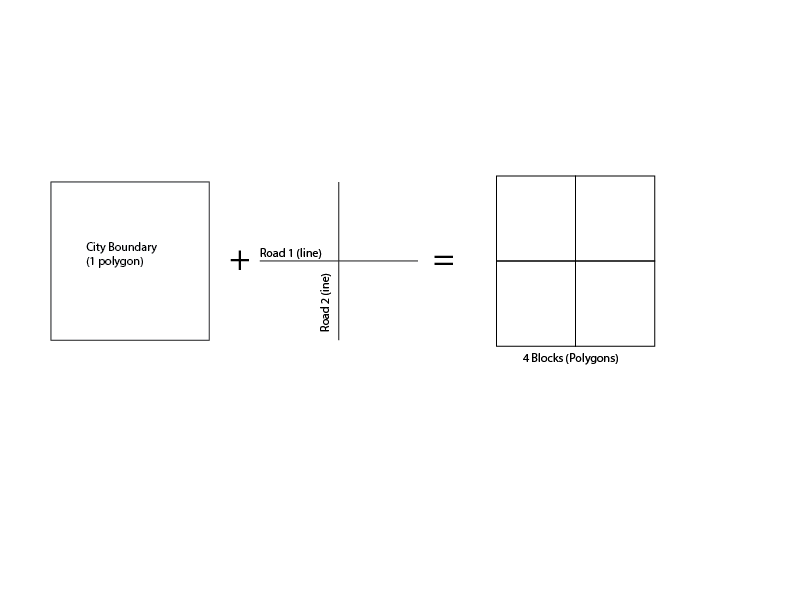
I'm interested in dividing a city up into disinct blocks, with the end result being polygons for the blocks. I have a polygon for the city boundary and centerlines for the city streets. Here's a simplified version of the concept, where the first two figures (boundary and streets) would be overlaid and the result on the right would be four polygons. Using ArcGIS Pro.