I have a road network that I need to divide up by custom geographic areas. The network uses the below connectivity and elevation policies. The FromNodeID and ToNodeID are just sequential numbers with no real elevation value.
Connectivity:
Policies:
Streets edges use End Point connectivity policy.
Elevation Model: Elevation Fields
Streets: FromNodeID, ToNodeID
What I tried to do was to intersect the streets feature class with the geographic areas, then use this as the edges in the network. The issue is that the connectivity breaks at all the cut locations. Is there a tool that I can use to do this work?
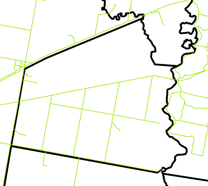
This an example of the road network in green with the custom areas in black.
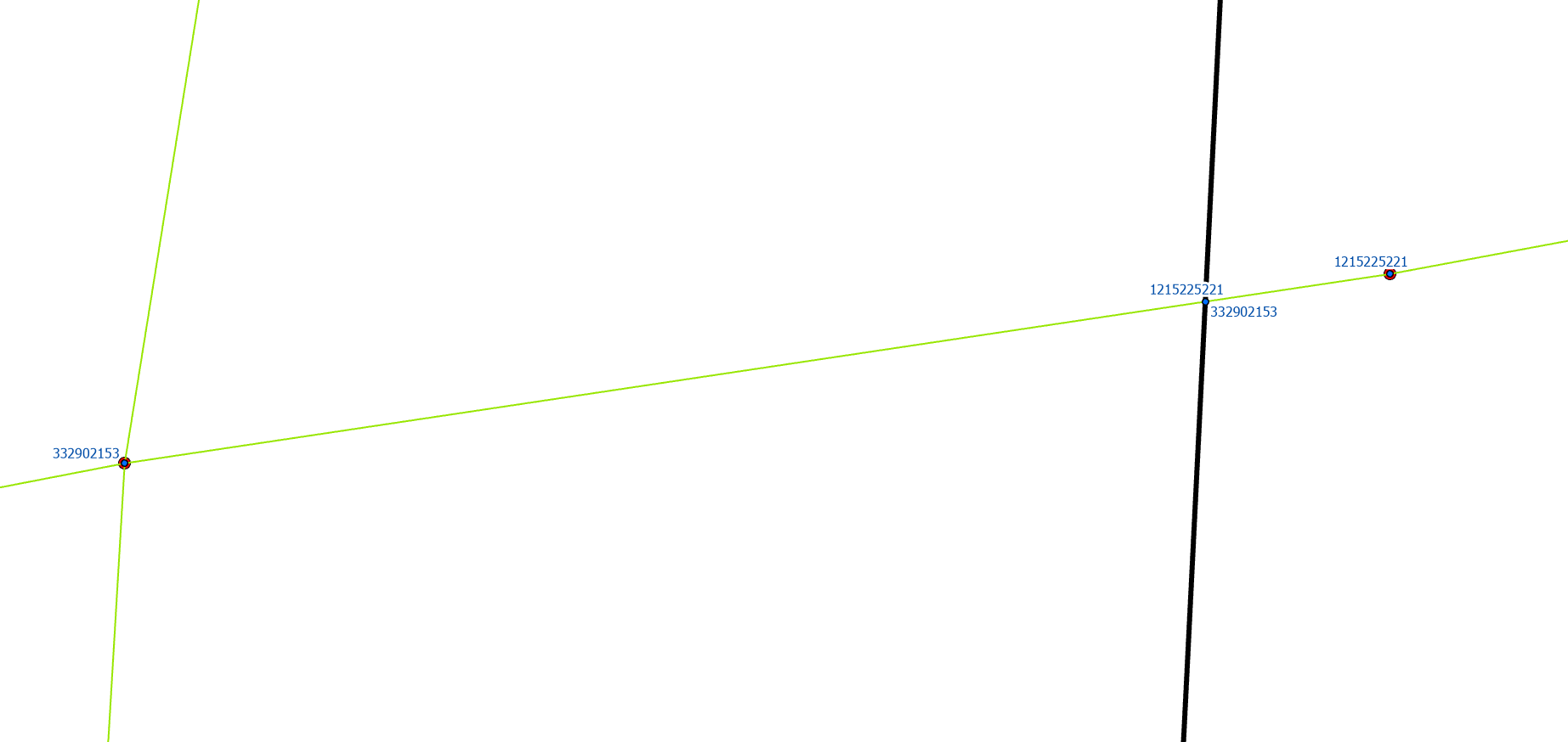
and this is an example of where the cut has occurred. The red dots are the current junctions, and blue dots are the ones after the cut. You can see from the labels that there is now a vertical connectivity issue, but I have no idea how to fix this in an automated way, and doing it manually is unfeasable.
Any ideas how I can go about doing this?

