Hi all,
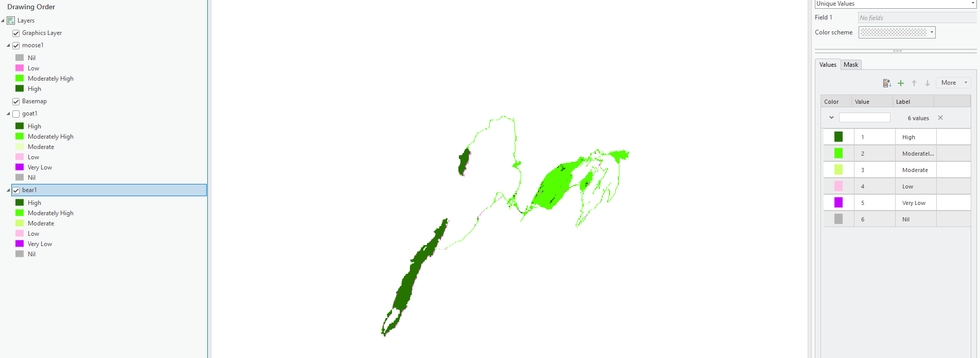
Using the pixel editor I've been changing pixel values for raster data related to habitat suitability for several animal species. Now that I have unique classifications (Nil to High) for each species I'm trying to find a way to calculate areas of overlap between the raster files. Basically the area where 3 or more species have "high" habitat suitability rating between the files.
Thanks in advance!

