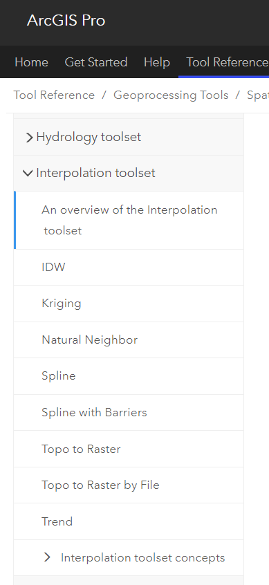
Add some interpolation tools to the analytics. Like for creating on the fly air quality, or rain fall maps. Even if it means only having so many rasters cells per analysis (like the larger the area covering, the larger the raster cell has to be). Any of the tools in ArcGIS Pro already would be fine. Obviously interpolation can involve major processing... but for some projects where there's like 10 sensors collecting data in a small area, being able to display as a "heat map" (not based on density of points, but the value of the point) would be really helpful. We haven't jumped into Velocity yet, but this might be one the tools missing that keeps me from jumping on board. Are there other ways of getting around this?