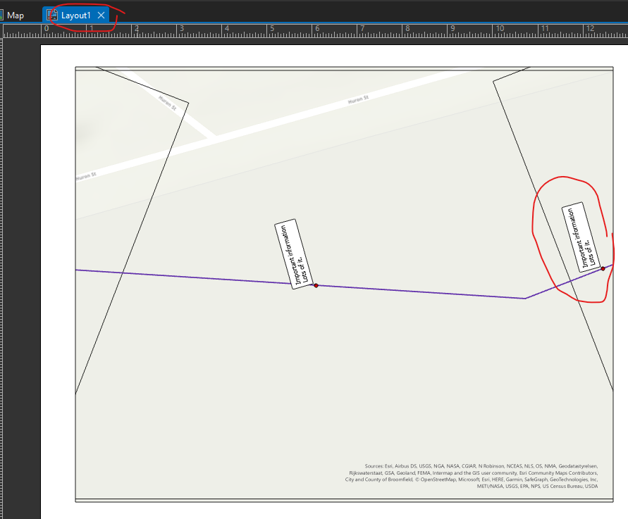
I often have to create a spatial map series where the pages rotate to follow a route (screenshots below). I also need to label point features along it, and convert those labels to graphics (dynamic labeling will not work because my projects get VERY complex and cluttered).
The problem is that graphic labels are stuck with a certain angle that won't update for the individual map pages (dynamic labels will update the angle per page, but again, not an option for me). I know that graphic labels that update dynamically doesn't make a ton of sense. But it would be fantastic if you could convert labels to graphics, AND place them in the layout, so you could edit their properties for individual pages. But unfortunately the label graphics are only editable in the map view, which means the will look the same for every page in the layout.
In the example below, I could create different label classes for the points in an individual page, and adjust their angle to match the page before converting to graphics... HOWEVER, there will always be features in the overlapping area between pages, meaning the angle for those labels will always be wrong on one of the pages.
This totally destroys 3 Python scripts I just wrote, and means I wasted a ton of time. It also means our team might have to continue labeling a hundred features by hand in a PDF editor for every project. I know this seems like a complex mapping technique, but from a graphic design point of view.... very obvious and very necessary.
Any suggestions for work arounds, would be much appreciated!
-----------------------------------
1. Points along a route with page outlines for the spatial map series.
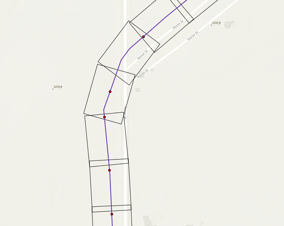
2. Labels in map view (notice one point is in two page outlines)
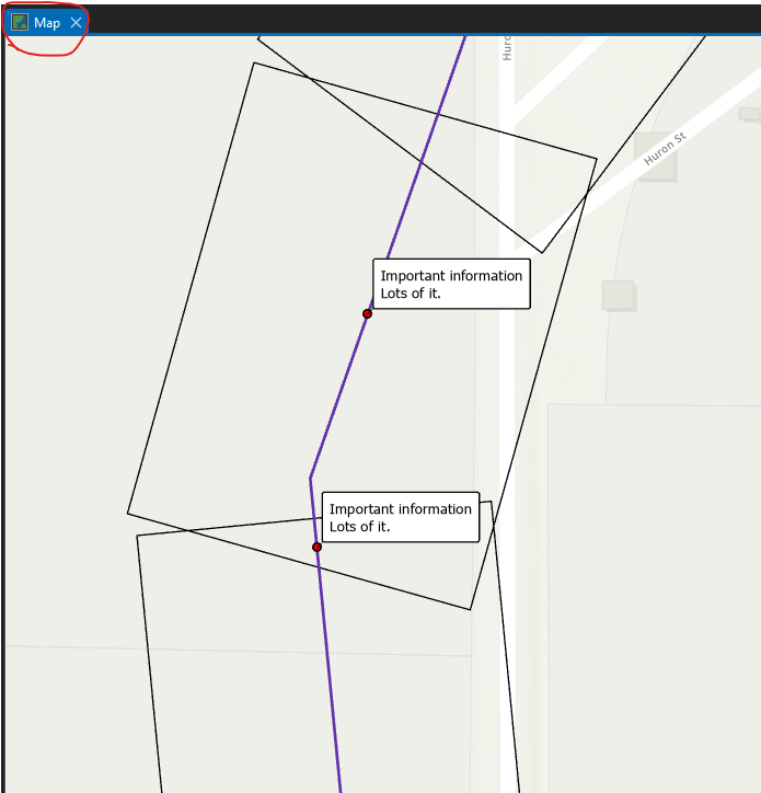
3. Same graphic labels, but in Layout view.
The circled graphic is in two different pages, so the angle will always be wrong, even if I change the angle to match one of the pages.