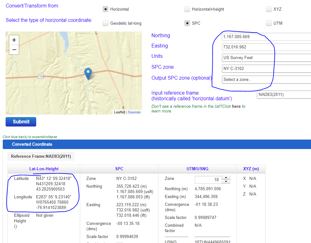
I am working on a project where I need to place points based off of Excel XY data for a State Plane System (Central New York).
When I do this, the points are placed, but in the incorrect spot (about 150 miles off). I am not sure how I could fix this issue or where I may be going wrong.
I know that the points are not being placed correctly, since the decimal degrees in the layer (that I calculated) do not compare to the position being shown on the bottom of the screen.
I couldn't get the x and y decimal degrees to work, so I used the state plane instead which I know is correct - I checked it on a 3rd party mapping system and it is where it is expected.
What I see:
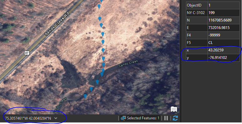
Third party website & screenshot:
https://geodesy.noaa.gov/NCAT/