Hi,
I'm using ArcMap 10.6 and a shapefile of the Hawaiian Archipelago, the archipelago being comprised of the main Hawaiian islands and Northwestern Hawaiian Islands (NWHI) including the expanded boundaries of the national monument.
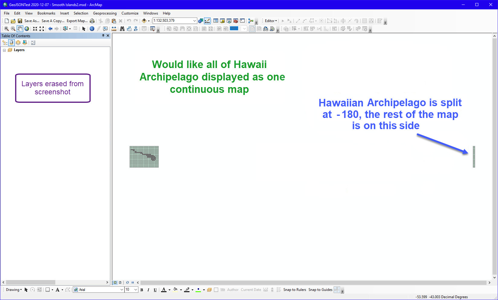
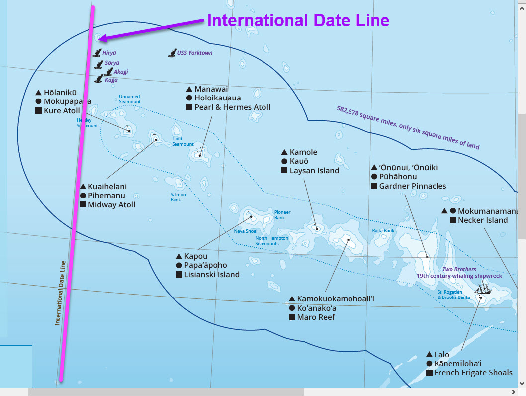
The islands and atolls of the NWHI are on the same side of the International Date Line as Hawaii but the expanded boundary of the monument crosses the date line. ArcMap is splitting the map at -180, the Date Line, putting most of the archipelago on the left side of the Data View screen and the rest of the archipelago on the right side. It also prints and exports in GeoJSON like that.
I'd like to center the map on the archipelago and monument boundaries and make the map continuous even though the date line crosses through. How do I do this so that the Date Line doesn't split the map?
Attached are screenshots of the layer in Data View and a little reference map of that part of the world showing the Date Line crossing the expanded boundary of the monument.
Very open to any and all suggestions and many thanks for your assistance.