Hi everyone. Is there any way that I can clip an ArcGISTiledElevationSource based on geometry in runtime?
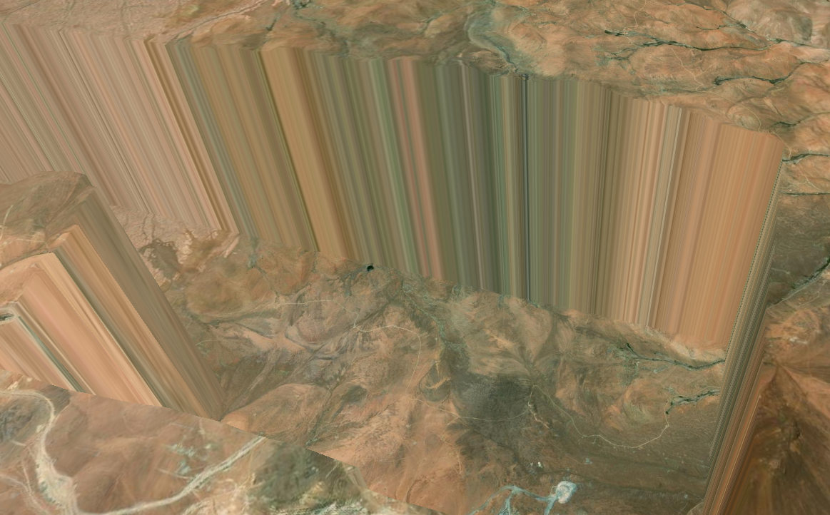
I am testing a local DTM with ArcGISTiledElevationSource, but there are those "cliffs" at the edges where the *.tif have black colors (no elevation).