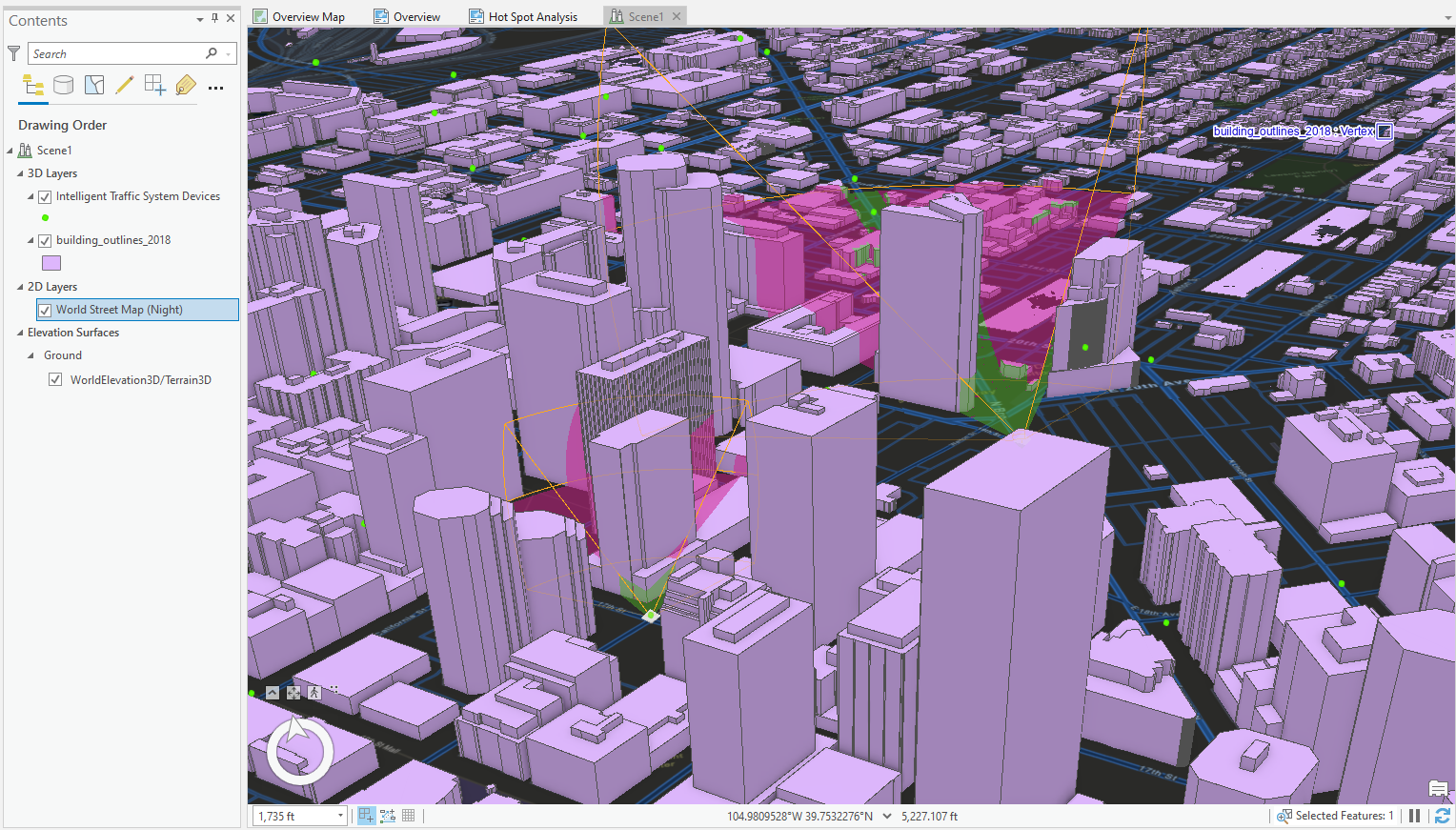
Hello all, I really appreciate any help you may provide.
I've come as close as I think I'm going to get on my own. I'm working in a 3D Scene in ArcGIS Pro and simply want to run viewshed analysis from point locations with 3D extruded buildings as obstructions. The exploratory analysis viewshed tool is a great start.. but this tool only shows up to 4 to 5 at a time and doesn't create an output polygon layer. I've tried the Viewshed, Radial Line of Sight, Visibility, and Geodesic Viewshed tools and they all want raster layers for inputs.. I can't even use the default ground elevation layer in the Viewshed or Line of Sight tools. Does anyone have any ideas on how to get the output I desire?