Hello
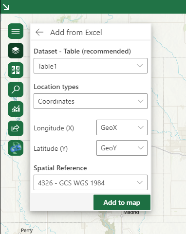
is it possible to change some default settings in ArcGIS for Office? for instance, when importing Excel data, the default spatial Reference us 4326- GCS WGS 1984.... Our Organization uses State Plane coords (3417) and when a user is trying to plot points based on X and Y, 8 of 10 times they forgot to change the spatial reference, generating rubbish data.
If we could just change the default Spatial Reference that would be FANTASTIC!.
Thanks!