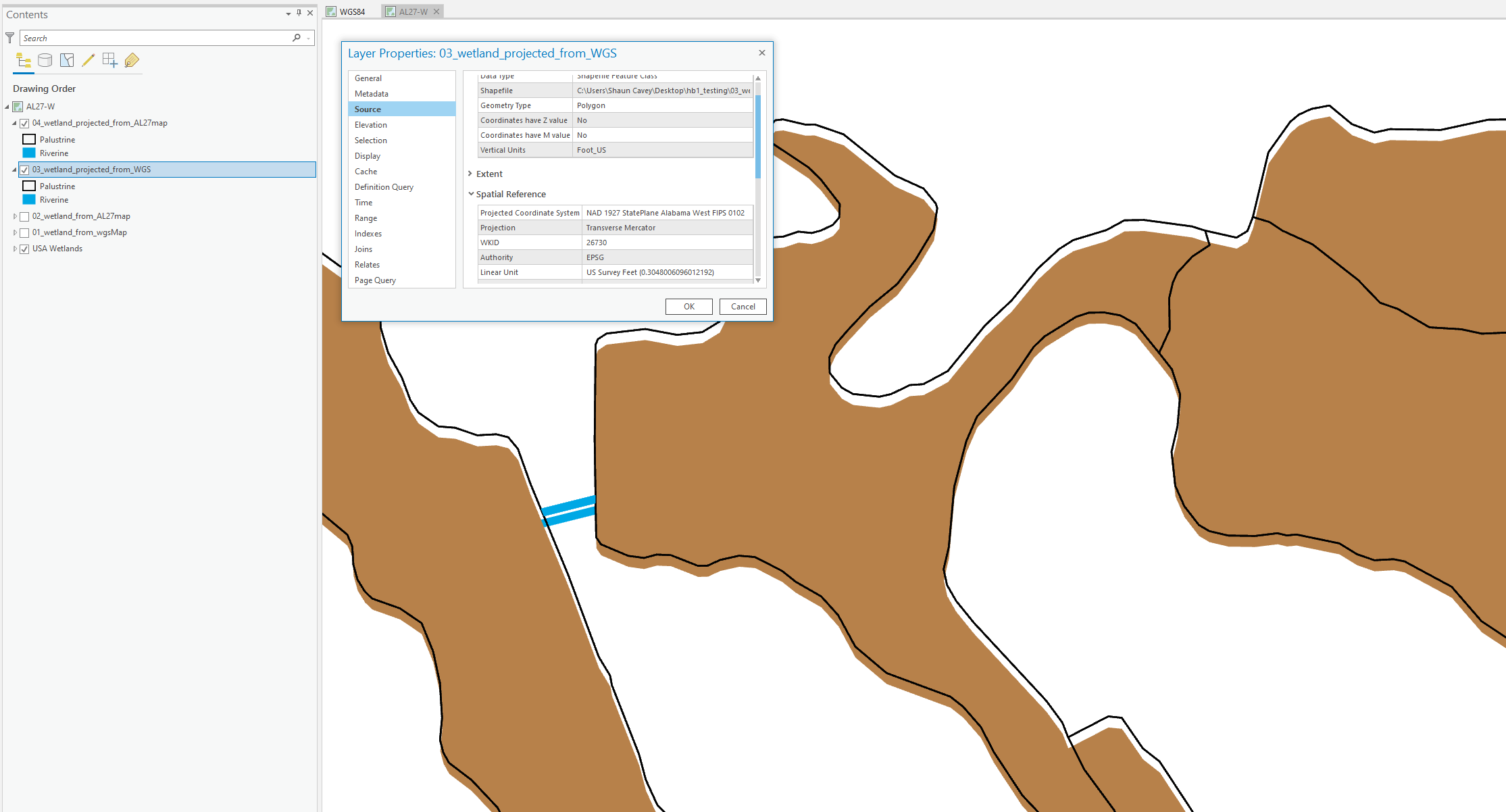
Goal: Export the NWI Wetlands as a shapefile into my required coordinate system so I can load into AutoCAD. Use Project tool to change the shapefile's coordinate system from WGS to NAD83 Alabama West Feet
Expectation: I would expect that regardless of the current Map you're in, if you Project a shapefile from one coordinate system to another - the result would be the same.
Problem: I am seeing different results using Project tool when the same process is applied from 2 different Maps. In one Map it looks good, but in the other the result is shifted and it doesn't make sense to me! Help!
Setup:
- ArcPro 2.7
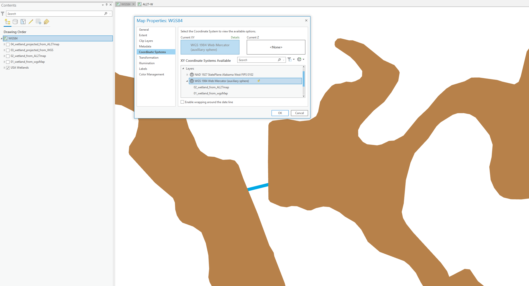
- Map 1 Coordinate System is WGS1984
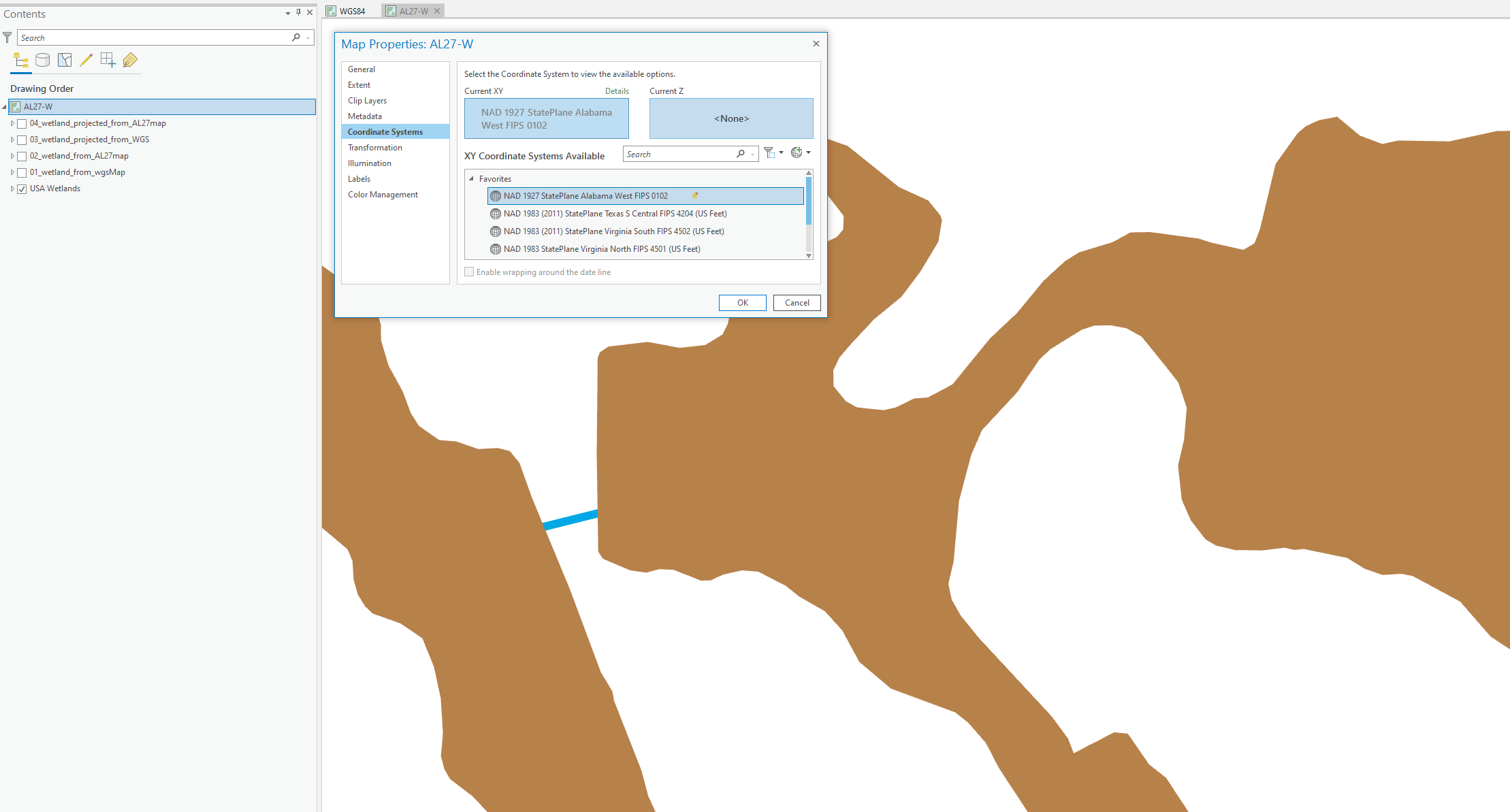
- Map 2 Coordinate System is State Plane NAD27 Alabama West US Feet
- Both maps have the USA Wetlands (WGS1984) from Living Atlas
Map 1
Map 2
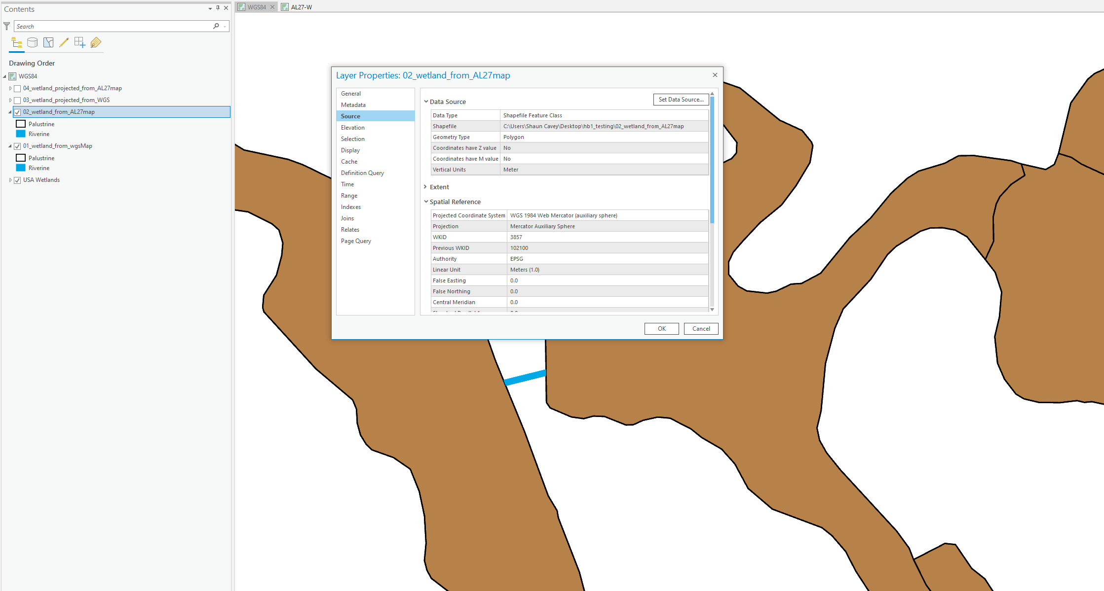
Process 1 - Export NWI Wetlands as a shapefile from Map 1 (no Coordinate change)
Process 2 - Export NWI Wetlands as a shapefile from Map 2 (no Coordinate change)
Results – Both shapefiles are aligned with original NWI Wetlands (as expected) in both Maps. They are essentially the same shapefile.
Process 3 – Project shapefile from Map 1 (WGS -> NAD27)
Process 4 – Project shapefile from Map 2 (WGS -> NAD27)
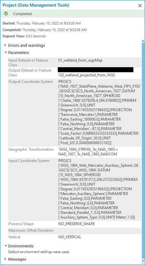
Results –
Map 1: Both Projected shapefiles are aligned with NWI Wetlands, as expected.
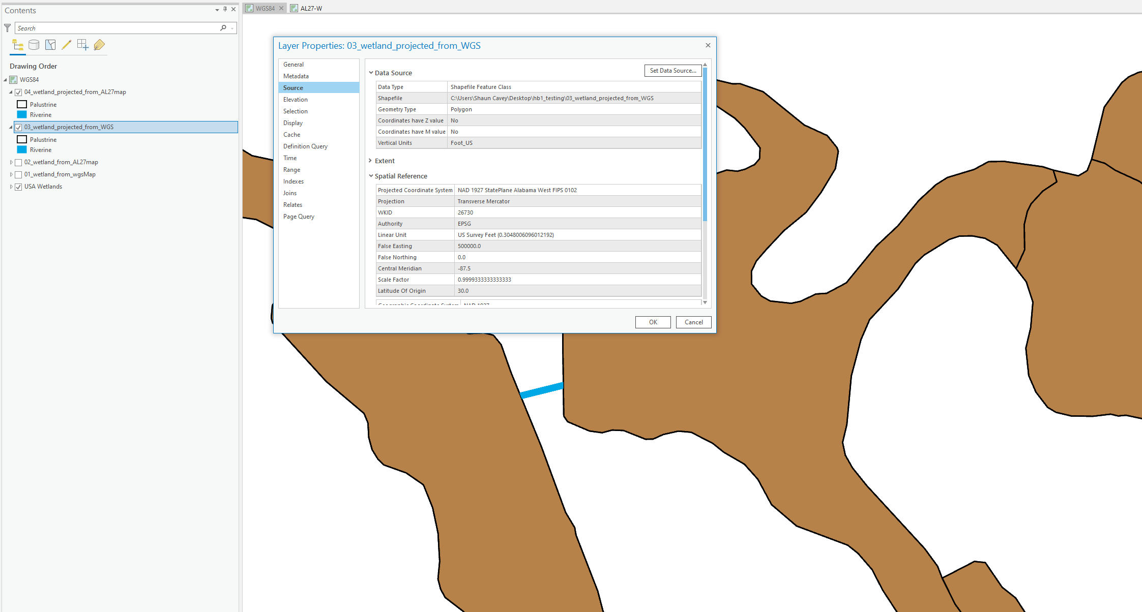
Map 2: Both Projected shapefiles are shifted about 35.2 feet from the NWI Wetlands, this was unexpected. What is going on?!