I have several .tifs which I have mosaicked into a new raster. I then did a slope analysis on this new raster. The slope analysis on this new raster it is not giving each individual cell a slope value instead it is creating what appears to be contour lines.
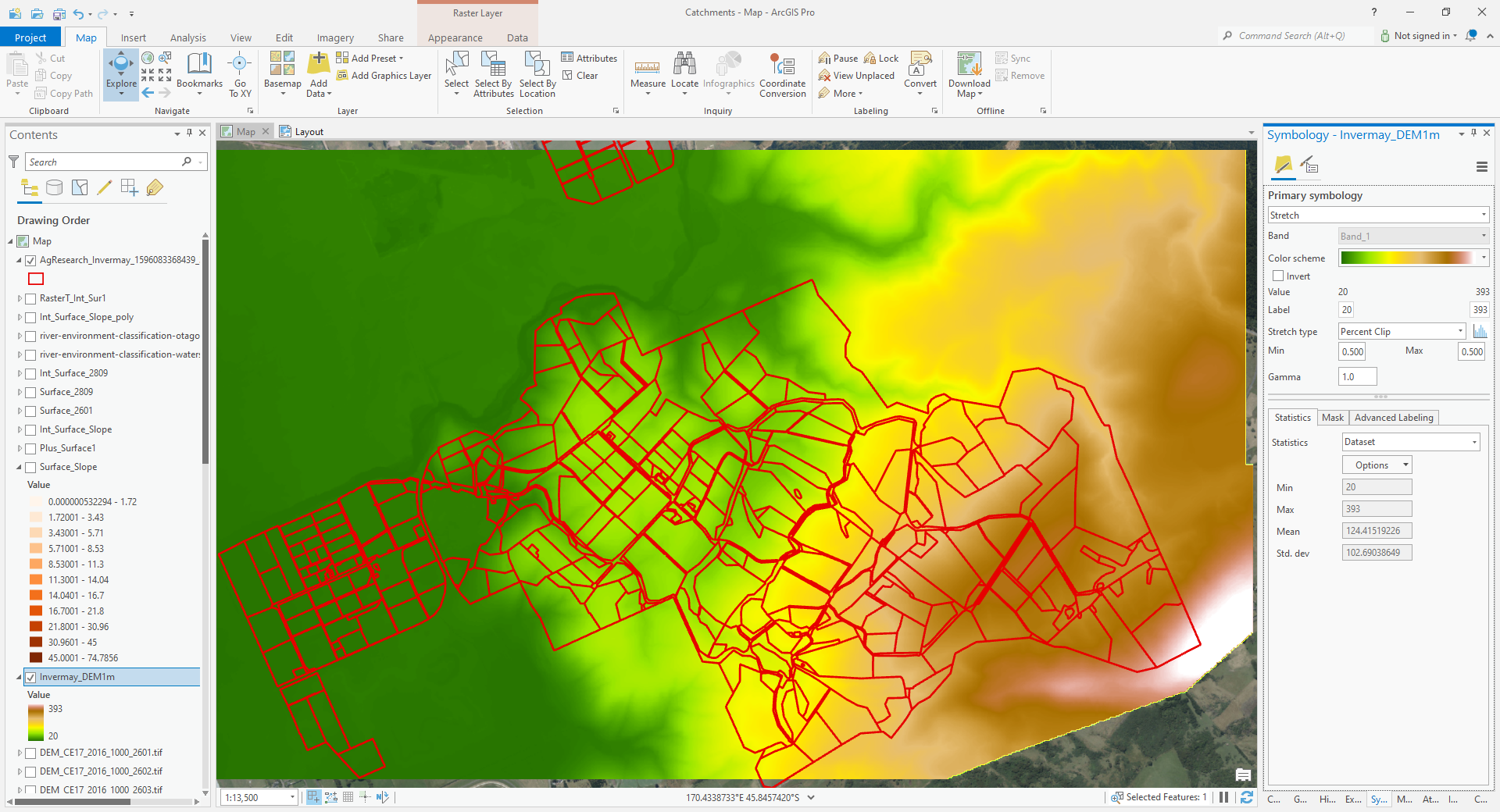
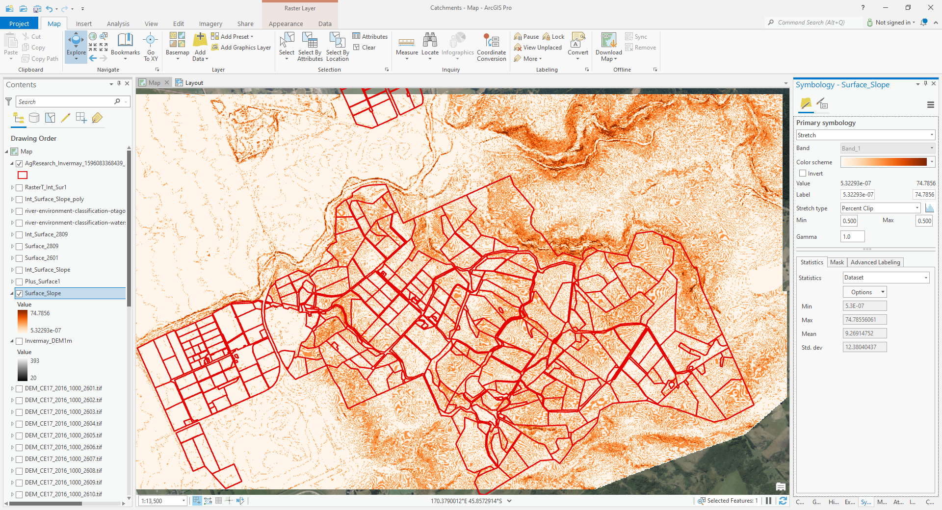
If I do a slope analysis on each individual .tif I get what I would expect -
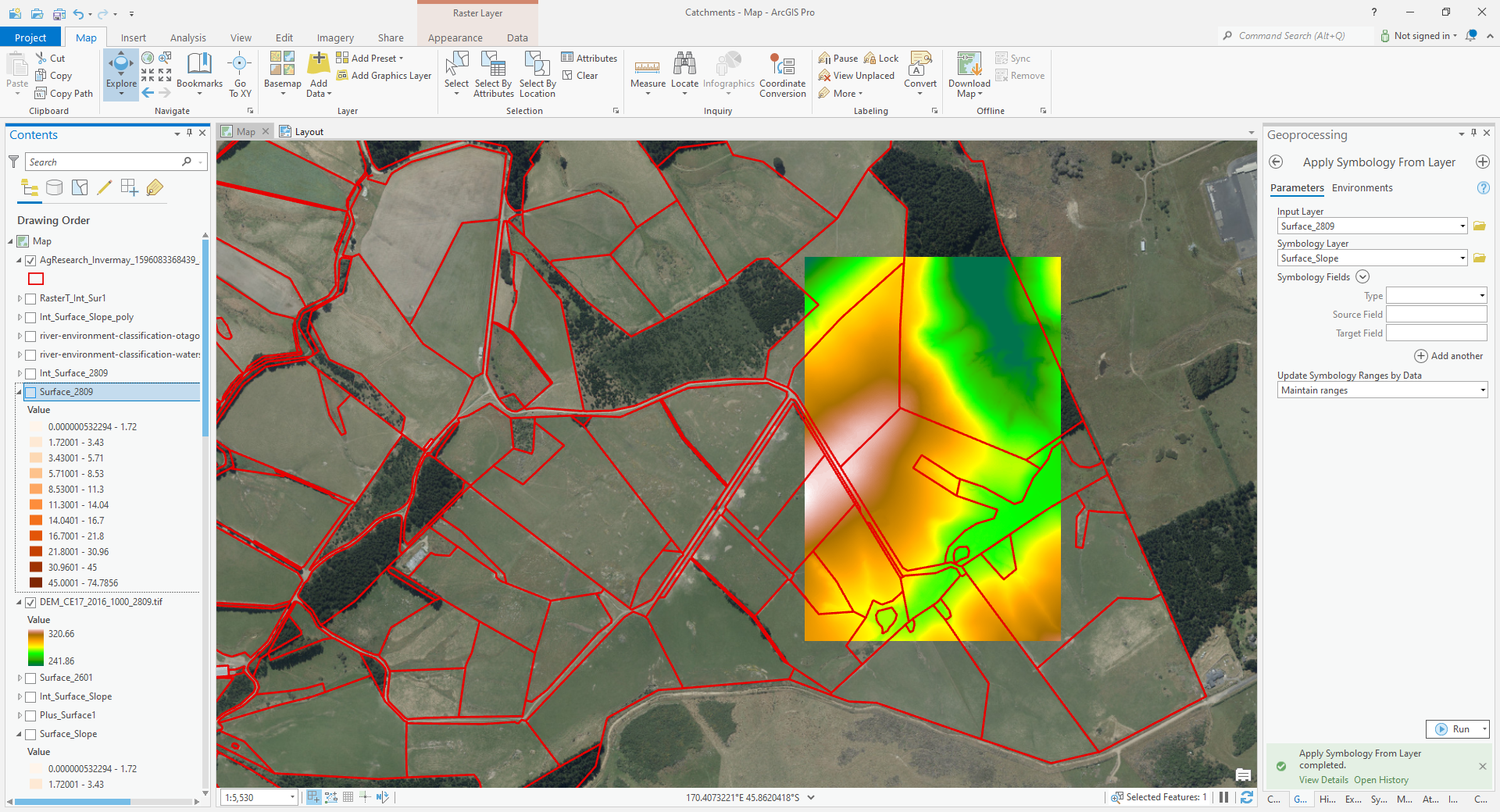
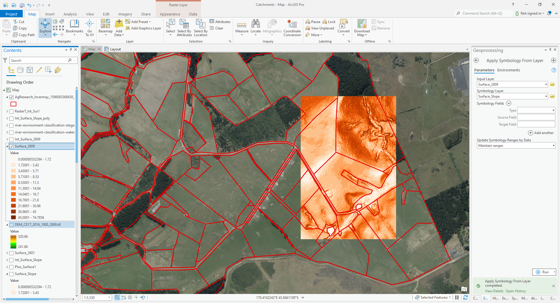
I have used the same method on another project and it worked fine i.e. mosaicked a number of .tifs to a new raster did the slope analysis and got a slope value for each individual cell in the raster as per eg below -
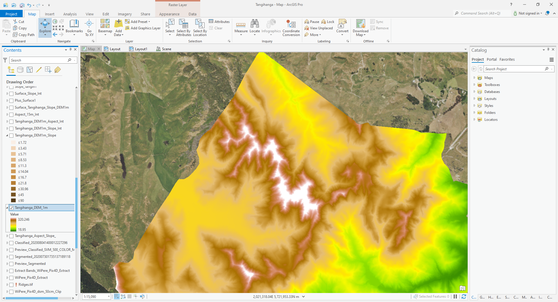
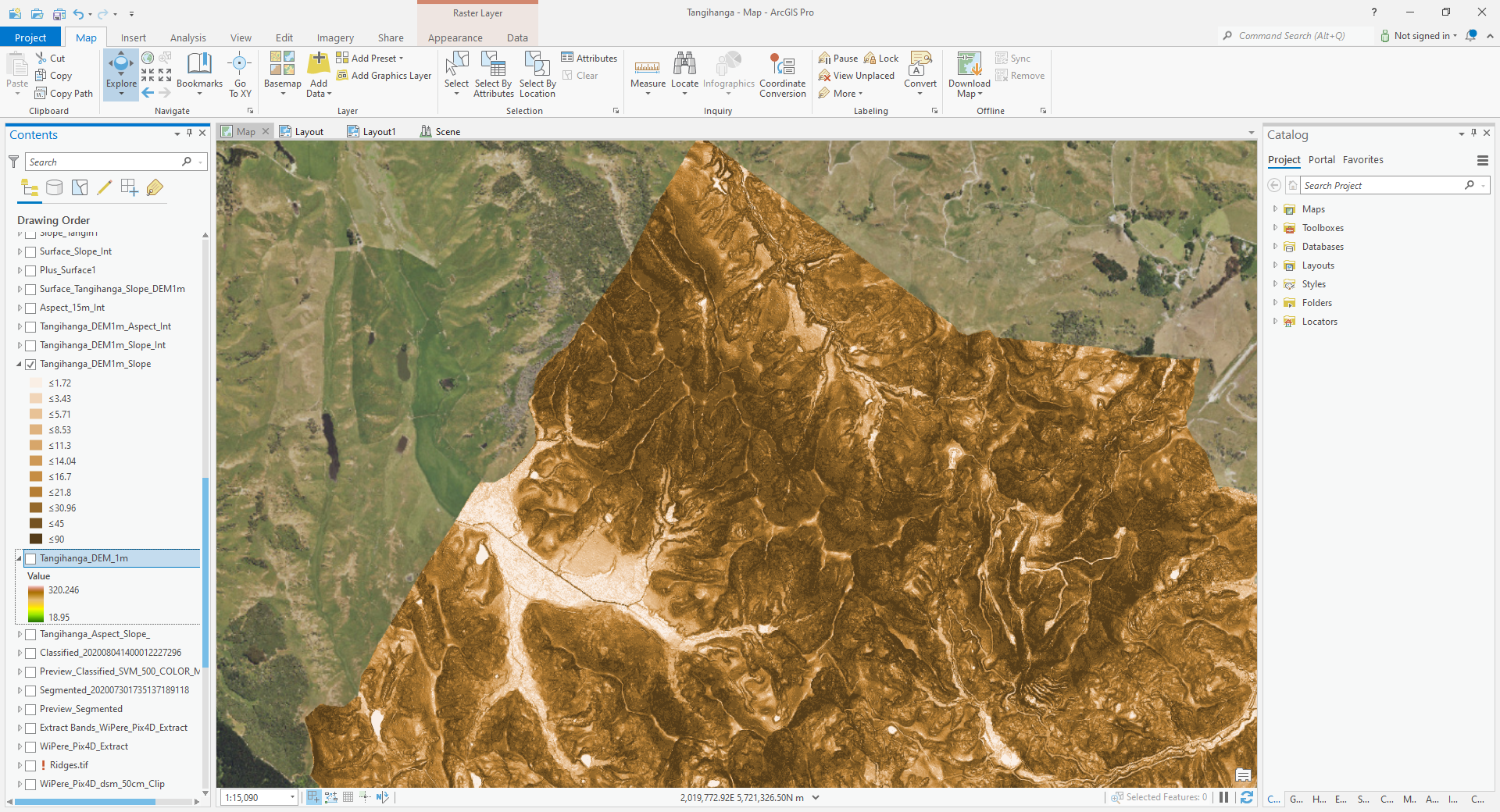
I don’t believe I have done anything differently with this project. Any suggestions as to why it may not be working this time please?

