Hello,
I am trying to obtain two 3D polyline for two different digital elevation model rasters. The two 3D polylines can then be used to compare the two rasters and decide on the best vertical translation coefficient. The digital elevation models rasters are horizontally correct however one of the rasters is vertically unaligned.
"Raster Domain (3D Analyst Tools)" seems perfect for the job but its polyline output did not have a z field. I also tried the "Update Feature Z (3D Analyst Tools)" to hopefully correct this very two dimensional line but also did not have any luck.
I have clipped the two digital elevations models to be the same size.
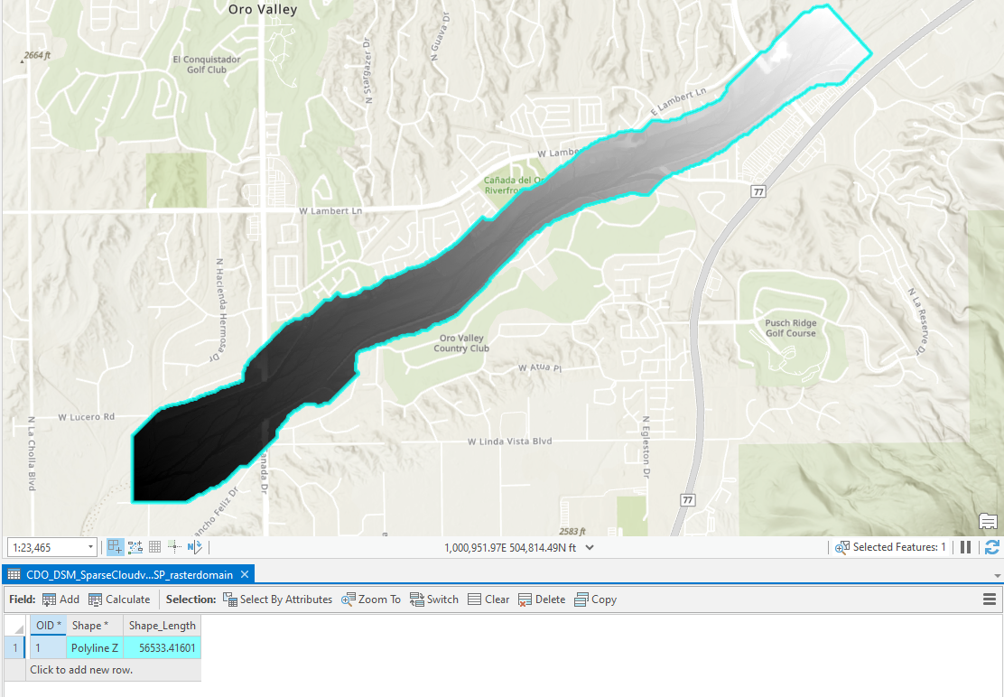
Any suggestions would be much appreciated. Thank you!



