Hi everyone, I'm hoping to explain my question clearly, so please ask follow up questions if this doesn't make sense.
I received new Parcel data, which does not have Zoning data attached to it. So I took our existing Zoning data that we created (from an old Parcel dataset), and used the Join Field GP Tool. This successfully added the Zoning attributes to the correct parcels by Parcel ID.
The issue I am now running into is this:
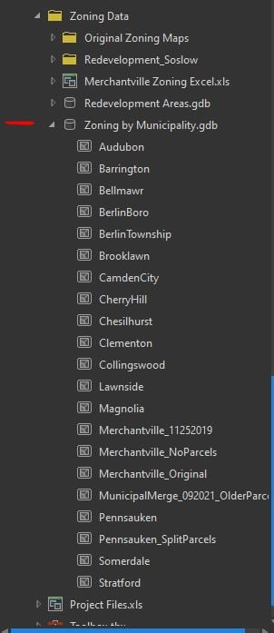
The existing Zoning data that we have is only for 17 out of 37 municipalities. When I was creating this data, I clipped each of those 17 municipal Parcels to their municipal boundaries and modified the data. So I now have a .gdb with individual Feature Classes that hold the OLD parcels.
So my long-winded question is: Is there any way to take the new Parcel data (which is the entire county) and overwrite the existing Feature classes (municipal)? Or do I need to re-clip all new Feature Classes? What is the best way to go about this?