I have been trying to add panoroma into arcgis pro using ortho mapping. The panorama images are collected using LadyBug 5+ camera. For the Camera File, I am uploading the trajectory csv. I don't have any other relevant camera file. Focal length as 35mm (obtained from the image properties) Pixel size on the sensor as 3.8mm (96dpi to mm), columns as 4000 (pixels) and rows as 8000 (pixels).
I get the following error:
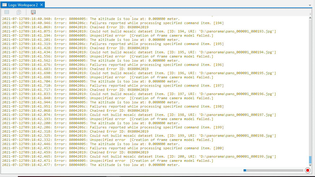
It took 4.5hrs to process the following with the same set of errors as above:
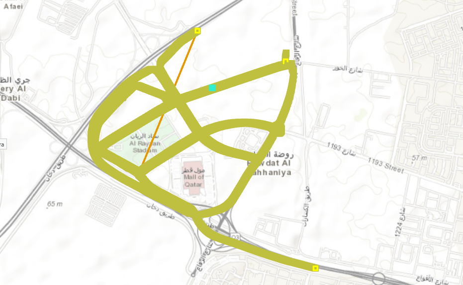
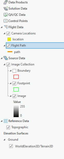
Clearly the flight path isn't right. I can click on a point and it load the following:
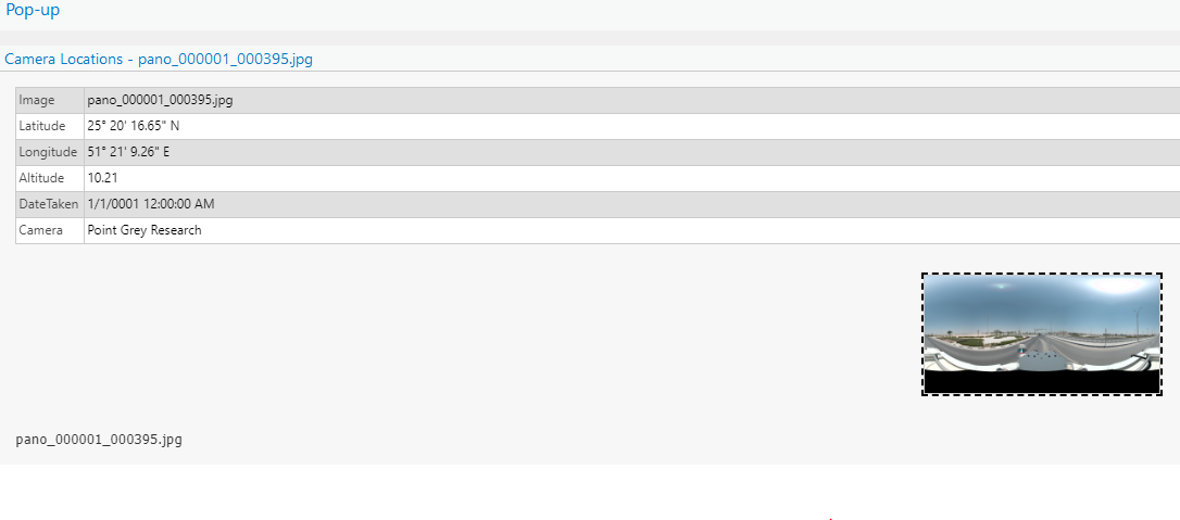
However, I know this is a result with loads of errors that hasn't been addressed.
Kindly advise how I can resolve this issue. Much appreciated.


