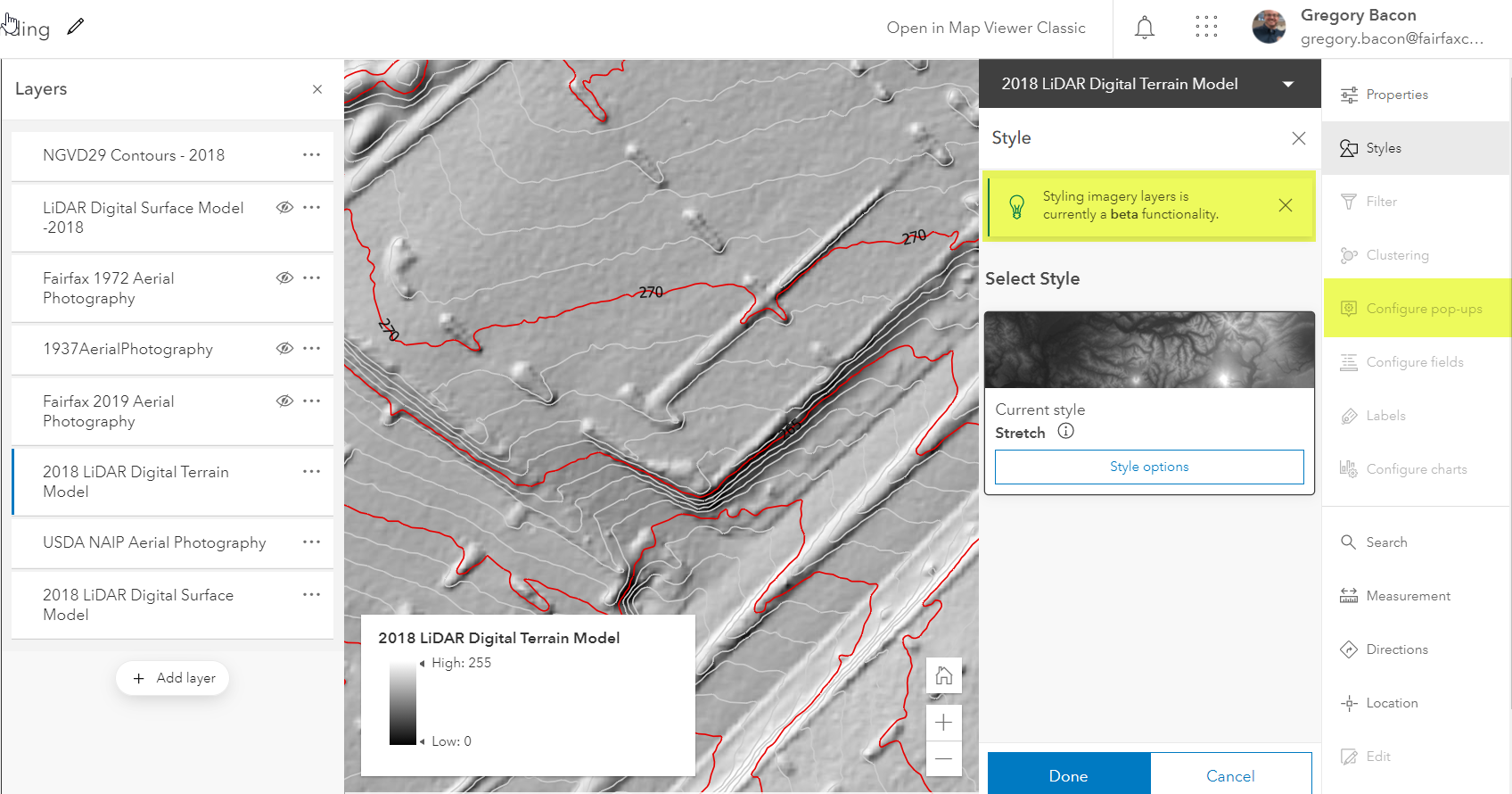
I am now able to add image services to the new map viewer but the option to configure popups is greyed out. Also, I see that styling image services is a beta functionality and I assume this is where I will eventually be able to choose which raster function I used for display. Is that correct? Currently, none of my raster functions show up here.