Hello everybody,
I try to pusblish a raster DSM in data format tif to AGOL. DSM visualizes tree heights.
In ArcGIS Pro I created a 3D object with this instruction: ArcGIS Pro 3D rasters? - Geographic Information Systems Stack Exchange
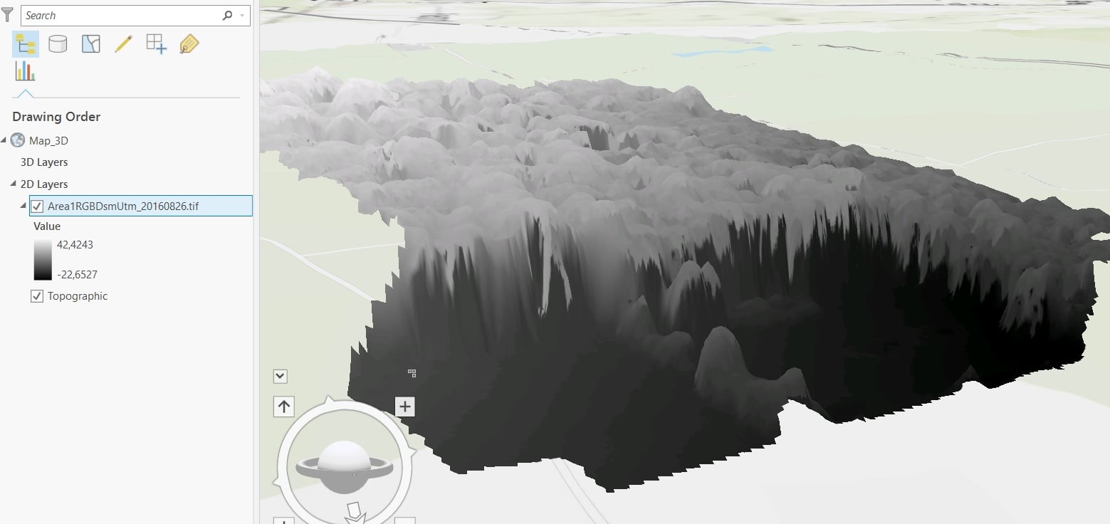
Now, I try to publish this result to ArcGIS online. My only solution is to publish the layer as ground elevation layer. But I want to display tree heights, so it is not a solution for me.
Do I have the possibility to get a 3D view in ArcGIS online, as I see it in ArcGIS Pro?
Thank you for every help!

