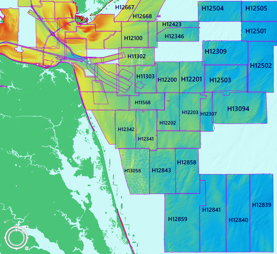
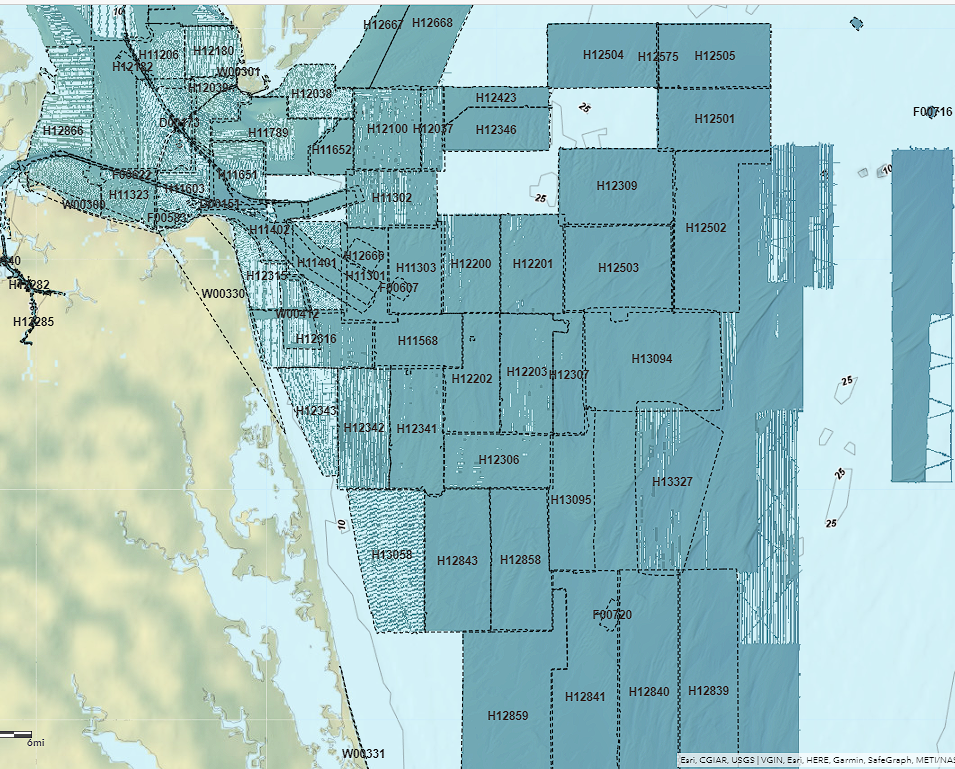
Sometime around the release of ArcGIS Pro 3.0 (maybe earlier), the bag bathymetry hosted imagery changed the way the color schemes are rendered. This seems to be an issues on any platform that display the bag bathymetry image services (ArcGIS Pro, ArcGIS Online, ArcMAP, etc.) It has also changed on the NOAA Bathymetric Data Viewer https://www.ncei.noaa.gov/maps/bathymetry/ .
The ColorHillshadeBAG Processing Template Description reads as follows (which I think has changed too):
"An elevation-tinted shaded relief visualization, using Esri's "multidirectional hillshade". The elevation/depth is displayed using this color ramp: https://www.ncei.noaa.gov/maps/bathymetry/images/bag_color_scale_bukavu.png. This color ramp was adapted from the "bukavu" color ramp from: https://www.fabiocrameri.ch/colourmaps/."
Does anyone know why the color scheme doesn't seem to display as expected. This new scheme is pretty lame (visually). Any thoughts on how to get the old color scheme to display? The Dynamic Range Adjustment (DRA) also seems to be affected. Selecting the DRA option now results in a washed out color scheme that is almost impossible to see the imagery when zoomed in to view the hi-res imagery.
Here's a couple images how the bag bathymetry ColorHillshadeBAG processing template looked like before & after (whatever changes were implemented).