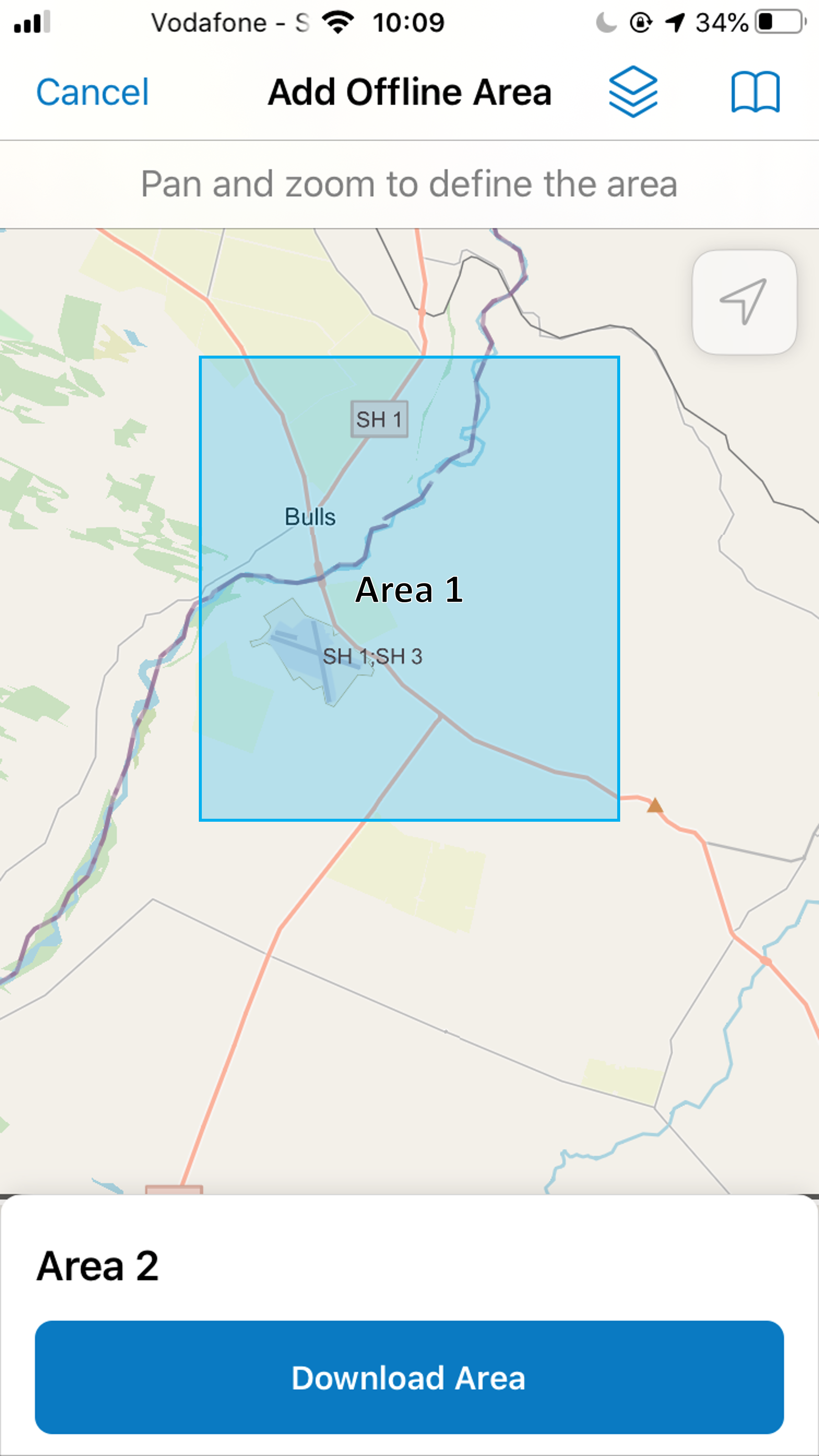
Currently when you create offline areas on your mobile device in collector you have to guess the extent of any previously created areas. It would be great if the map showed the extent of any areas you have downloaded from ArcGIS Online/Enterprise, as well as any that you have generated locally. This will help to prevent accidentally missing areas if you need to create multiple offline areas to cover a large study area. It would also be useful to label this area with the name to assist with identifying which offline areas are which.
For example: