COGO Centerlines using Stationing
ESRI has not provided a useful tool for constructing centerlines since ArcCOGO in ArcEDIT. Before an editor can digitize or COGO a centerline the user has to calculate the distance from the station values. Allowing the user to choose an option to enter in distance as stations into the traverse tool will eliminate this step.
I suggest adding to the traverse options the ability to enter distance as stations below the misclose tolerance settings.
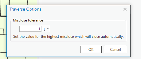
This UI would like similar to this.
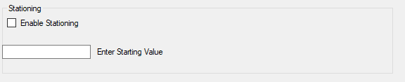
Enabling stating this changes the distance column on the traverse tool to station.
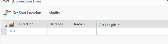
The user can then enter station distances as 10+50 or 1050. The traverse tool then calculates the dimension of the line based on the starting station or the last station entered.
For added functionality, if the fields FromStation and ToStation are included# in the target feature class the traverse tool can calculate the values. The user can then use the values as labels.
Also, include the awareness of stationed lines to ArcGIS PRO. If the user uses the divide tool on the line. ArcGIS Pro will calculate new “From Station” and “To Station” values.


