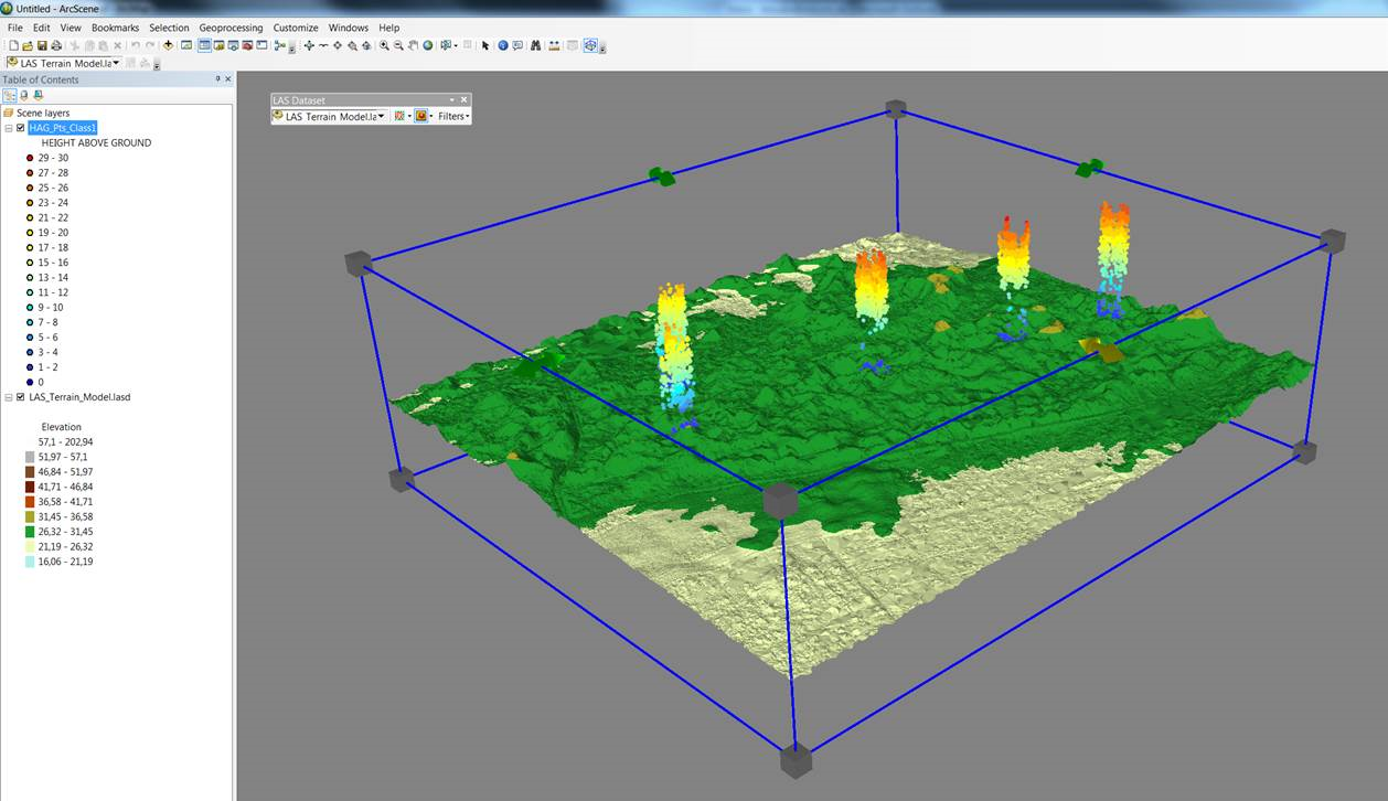
For any classified point cloud it's possible to filter ground/non-ground.
Wouldn't it be great to symbolize the Non-ground points with their relative height to the ground below, using the LAS Datset Toolbar:
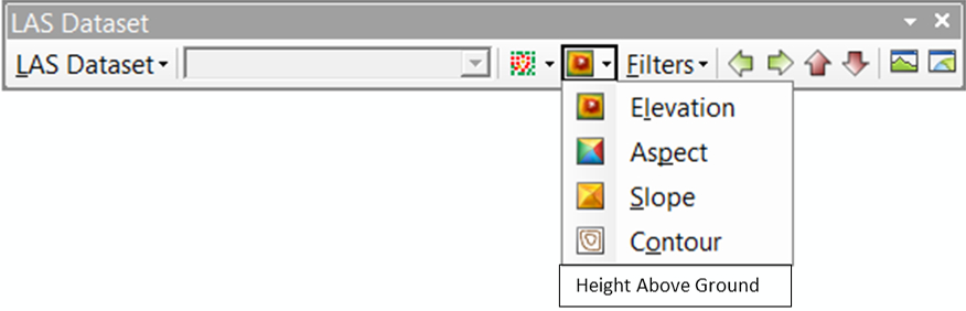
The application for "Height Above Ground" could be implemented in a wide range of industries, sush as:
- defence (a look behind ememy lines ...),
- forestry(canopy height, biomass estimation, tree classification),
- utility ("right of way"),
- urban-planning/builiding regulation,
- transportation (line of sight/viewshed),
- 3D-modelling
- etc.
Only downside is, you'll never have to leave the office again to messure features ;o)