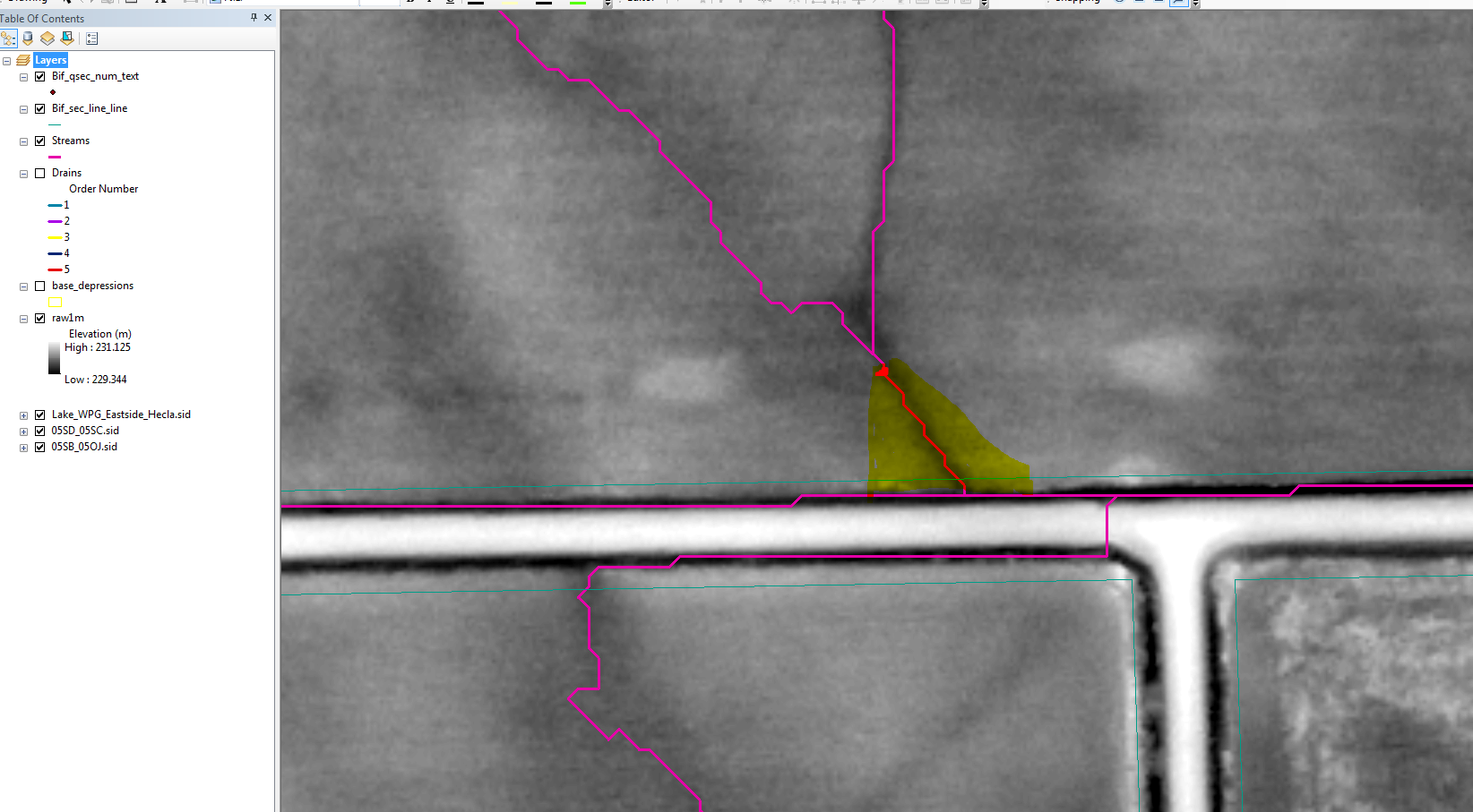
I am looking at creating a tapered buffer for a drain off a field that meets up with the drain that runs alongside the road. the buffer would be used to negotiate with the farmer to create a grassed runway(drain) to minimize erosion of his field. Any help, advice or suggestions is greatly appreciated.
The Pink lines represent the stream delineation that I've run in the area. What I want to do is create a tapered buffer from a point on the pink line(NW-SE) (ex. 15m) from the ditch (E-W pink). We would like to use the teal line(road allowance) to determine how much land creating this buffer the farmer will 'lose' from production.