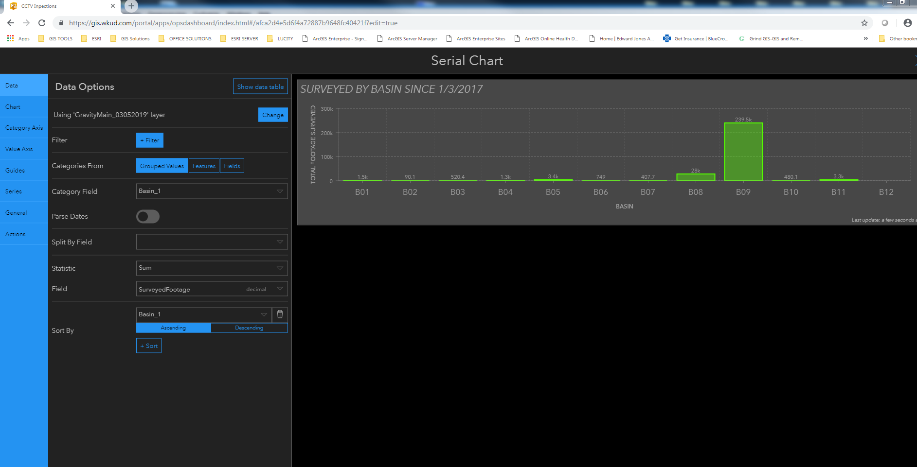
I am trying to make a bar chart to show how much gravity main we inspected. I want to show it by Basin with the surveyed footage and shape footage stacked. I can't get both to show. I assume this is something simple but,,,,,,,,,,,,,,,
I am doing this on our Portal (10.6.1), not online. Could this be a problem? I also read that map vs feature services could be a problem. Would not see it here, but who knows.
Thanks in advance for any help.