I have been trying to use the Split Buildings Into Floors tool from the Local Government 3D Basemaps solution.
Is there any documentation on using this tool beyond that found at http://solutions.arcgis.com/local-government/help/local-government-scenes/get-started/floors-creation/?
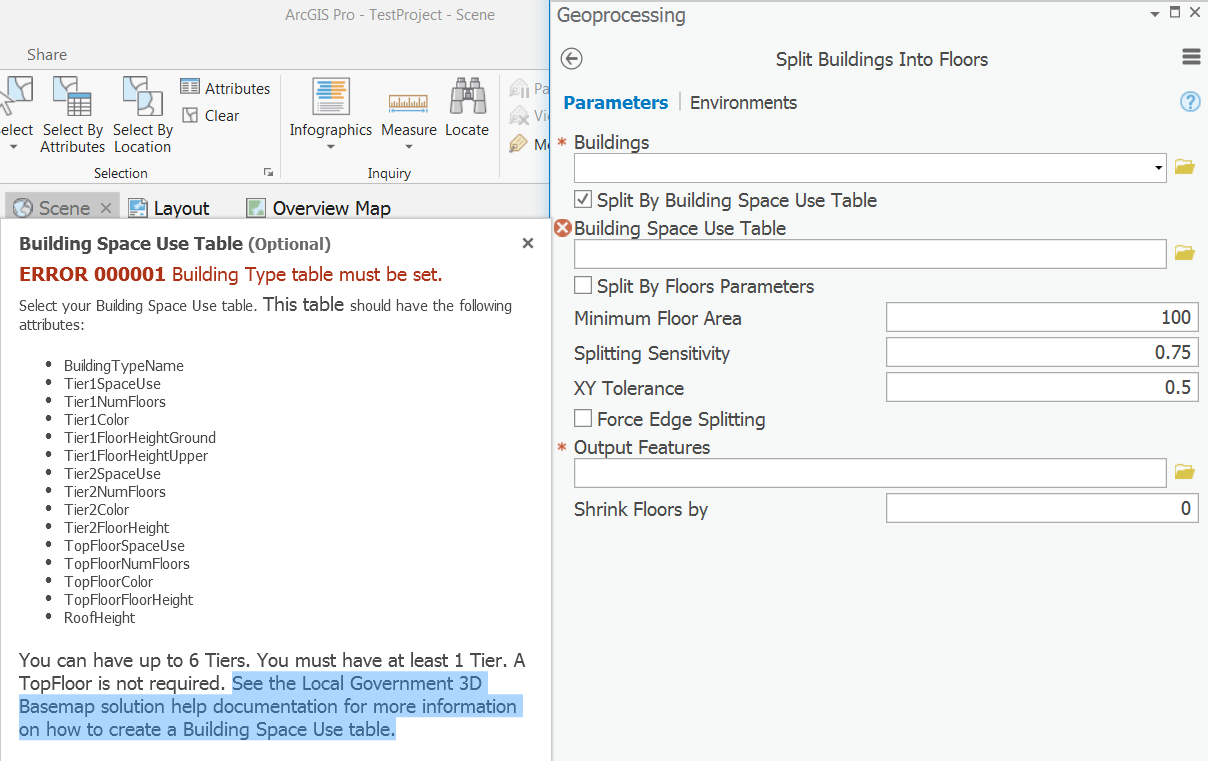
The picture below suggests that there might be where it says "See the Local Government 3D Basemap solution help documentation for more information on how to create a Building Space Use table" but maybe that is what I am already looking at.
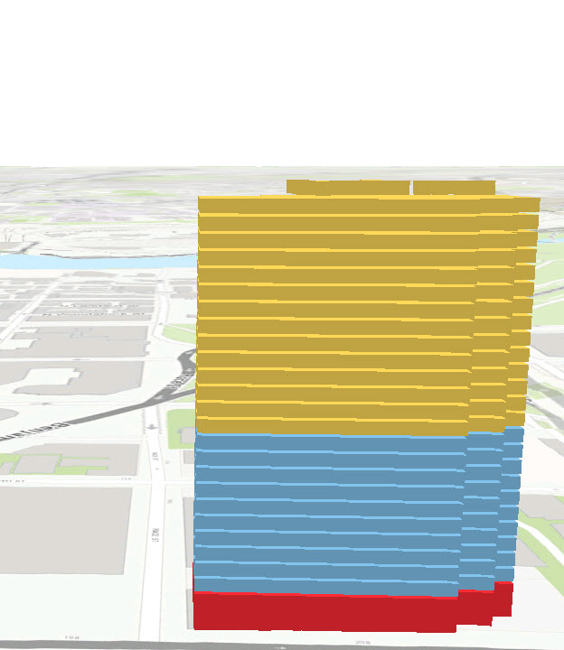
What is confusing me is how to reconcile the values that I see for building 285 in Philadelphia_BuildingTable.xls with the building volumes that I get from running Split Buildings Into Floors followed by Extrude Attributes on the Philadelphia test data provided.
In the spreadsheet it has:

If Tier 1 shows in red then how do the values correspond to it?

If Tier 2 shows in blue then how do the values correspond to it?
If Tier 3 shows in yellow then how do the values correspond to it?
Where does the RoofHeight of 20 show up?

