The ArcGIS API for JavaScript offers efficient support for creating 2D and 3D web mapping apps that utilize the spatial capabilities of the ArcGIS platform. Now versions 4.17 and 3.34 have been released. The main focus is performance:
ArcGIS API for JavaScript 4.17
- Drastic performance improvements of Feature Layers
- Improvements to Stream Layers (real-time), e.g., use of Custom WebSockets
- Better navigation and visualization of Vector Tile Layers
- Improved performance of Scene Layers
- WMS Layers now support time
- New VectorFieldRenderer for visualizing raster data with vector symbols
- New WCSLayer (Beta) for integrating OGC Web Coverage Services (raster)
- New TableList Widget to display a list of tables in the map
- Many widget updates
- Last release with support for Internet Explorer 11 and the old Edge browser
- New samples
- and much more.
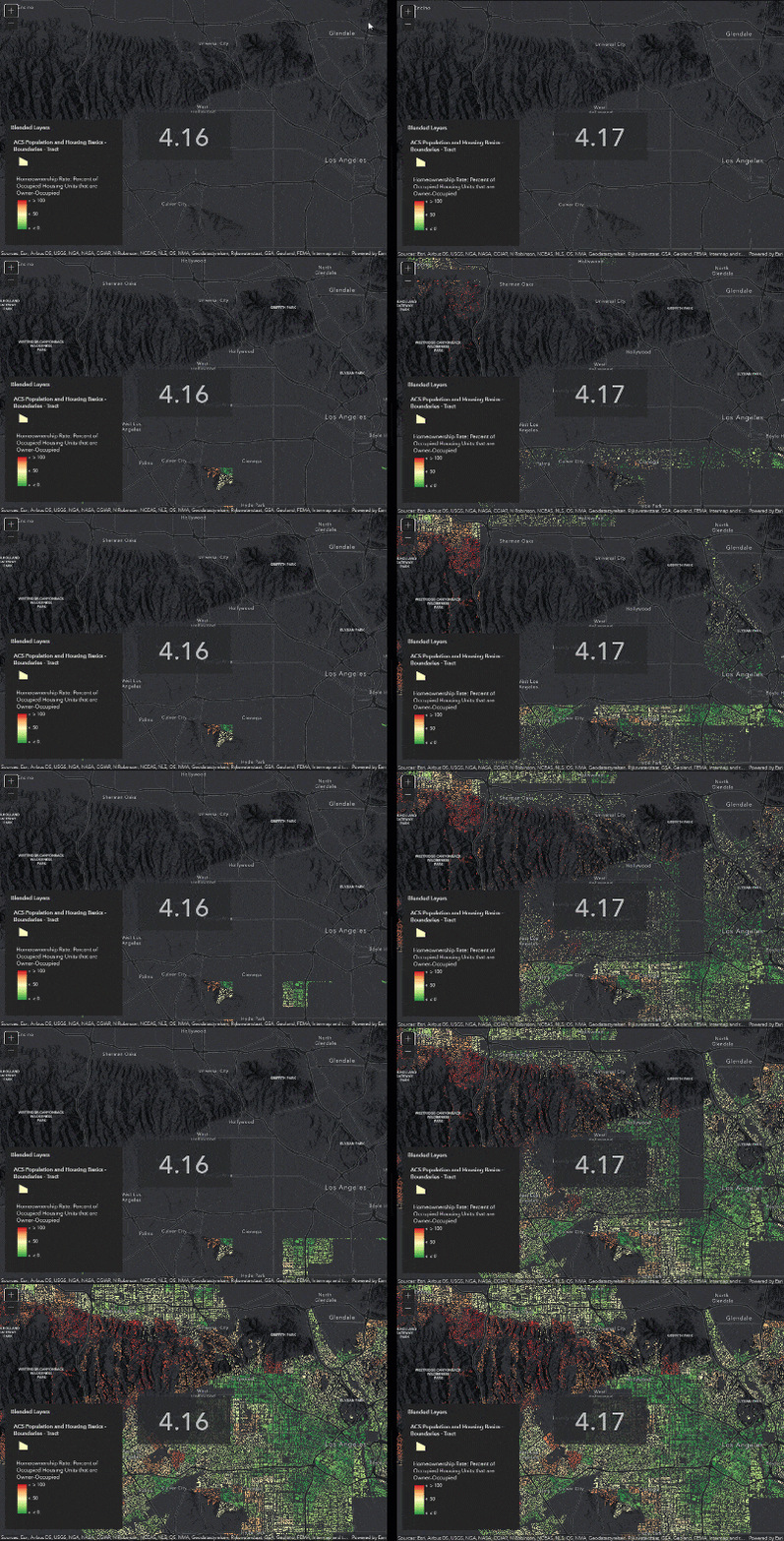
Rendering over 1.1 million building footprints compared between versions 4.16 and 4.17
ArcGIS API for JavaScript 3.34
- Marginal enhancements and bug fixes
Complete information about the new versions can be found in this Esri Blog, and in the release notes for version 4.17 and version 3.34.
