Currently, there are two coexisting versions of the ArcGIS API for JavaScript. On one hand, the longer existing 3.xyz API, which now has a new update with version 3.17, - and the recently released new Generation 4. Both APIs are functionally further developed and supported. There are two reasons why both APIs continue in parallel. First, the 4.xyz API is no longer compatible with previous versions due to a fundamentally revised architecture, and second, the new 4.xyz API does not yet contain all functions of the 3.xyz API. This means for developers that they currently have to decide on one of the APIs. A decision matrix helps with the right choice.
New in the ArcGIS API for JavaScript 3.17, besides some bug fixes and minor improvements, are the following highlights:
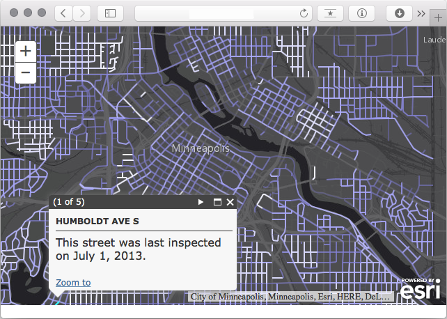
- Smart Mapping: Date-based visualization
Smart Mapping are cool tools on ArcGIS Online/Portal for visualizing maps. With date-based visualization, maps can be adjusted in color or transparency according to date attributes in features.
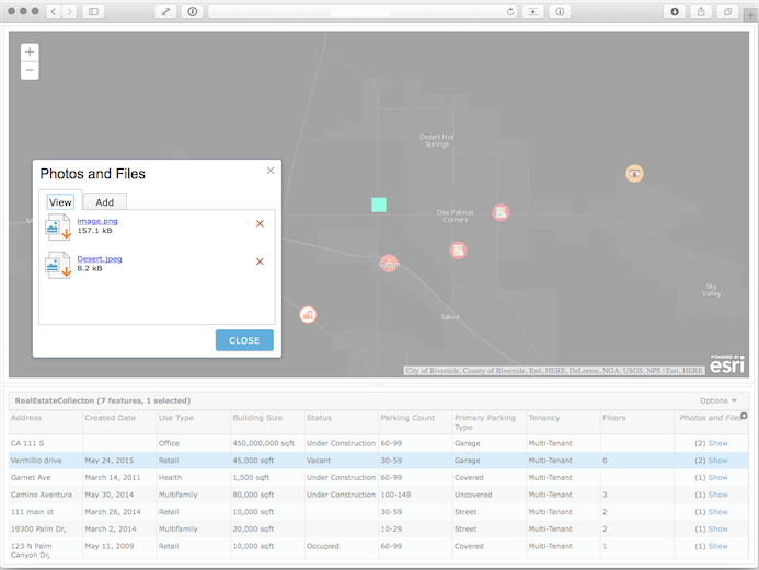
- Improvement of Feature Tables
Attachments are now supported, more information can be displayed, and there are now more options for developers to customize Feature Tables.
More possibilities for visualizing WMS and WFS layers have been implemented.
A complete list of all changes is available here.
