Esri evolved named user levels into User Types to provide additional flexibility when licensing ArcGIS Online. There are five User Types: Creator (formerly Level 2), Viewer (formerly Level 1), Field Worker, Editor, and GIS Professional.
Explore User Types
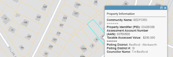
Perform calculations and bring information from overlapping layers into one pop-up using Arcade. Create cohesive pop-ups that display information about fields that have intersecting locations rather than having your users toggle through multiple pop ups in a single location.
Learn to Configure
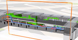
Reveal hidden data in building interiors or underground using the new Slice tool. This tool lets you inspect features in a building or display geological data that is under the earth's surface.
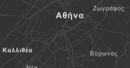
In addition to Chinese (traditional), English, French, German, Japanese, Russian, and Spanish, the Esri Vector Basemaps are now available in Arabic, Chinese (simplified), Italian, Korean, Polish, and Portuguese (Brazilian).
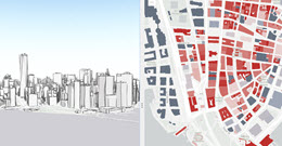
Use Compare, the newest configurable app, to compare your maps or scenes. The two views can be linked to synchronize their extents, legends, and pop-ups.
This is only an introduction to what’s new in ArcGIS Online. Explore all the new features in our What’s New blog.
Signed in members can post, follow updates, and more. New here? Register a free account.
Find useful guides, FAQs, and documents to help you navigate and make the most of Esri Community.