Hey, I have a question when using the GIS map.
I try to add the Export_outlet, which is two points, to the map Landuse_watershed so I can mark the sampling points on the landuse map. But when I choose Zoom to the layer, it can only show either Export_outlet or Landuse_watershed. These two layers do not combine together. They are in the same coordinate system. What can I do to fix that?
Thank you!
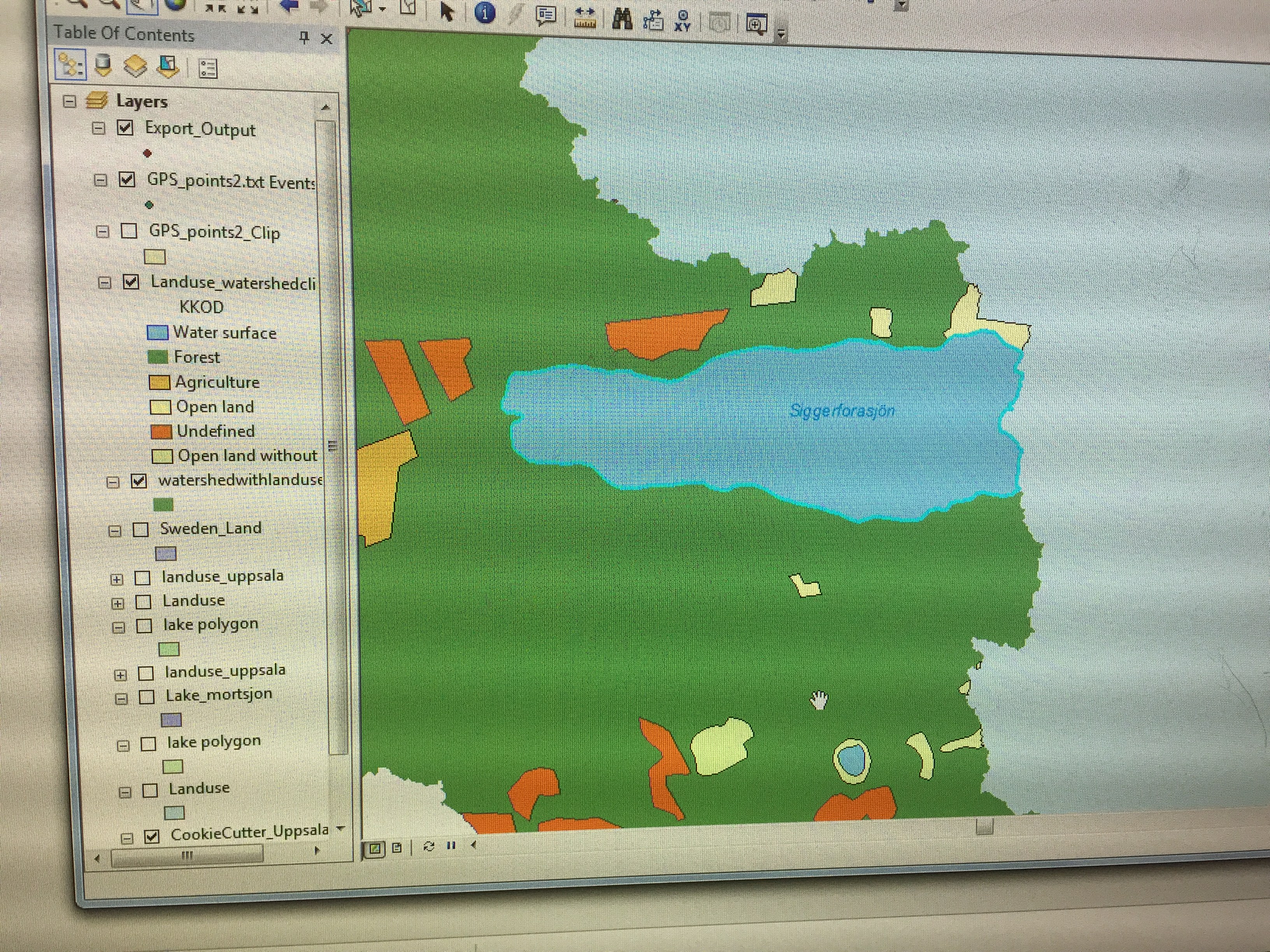
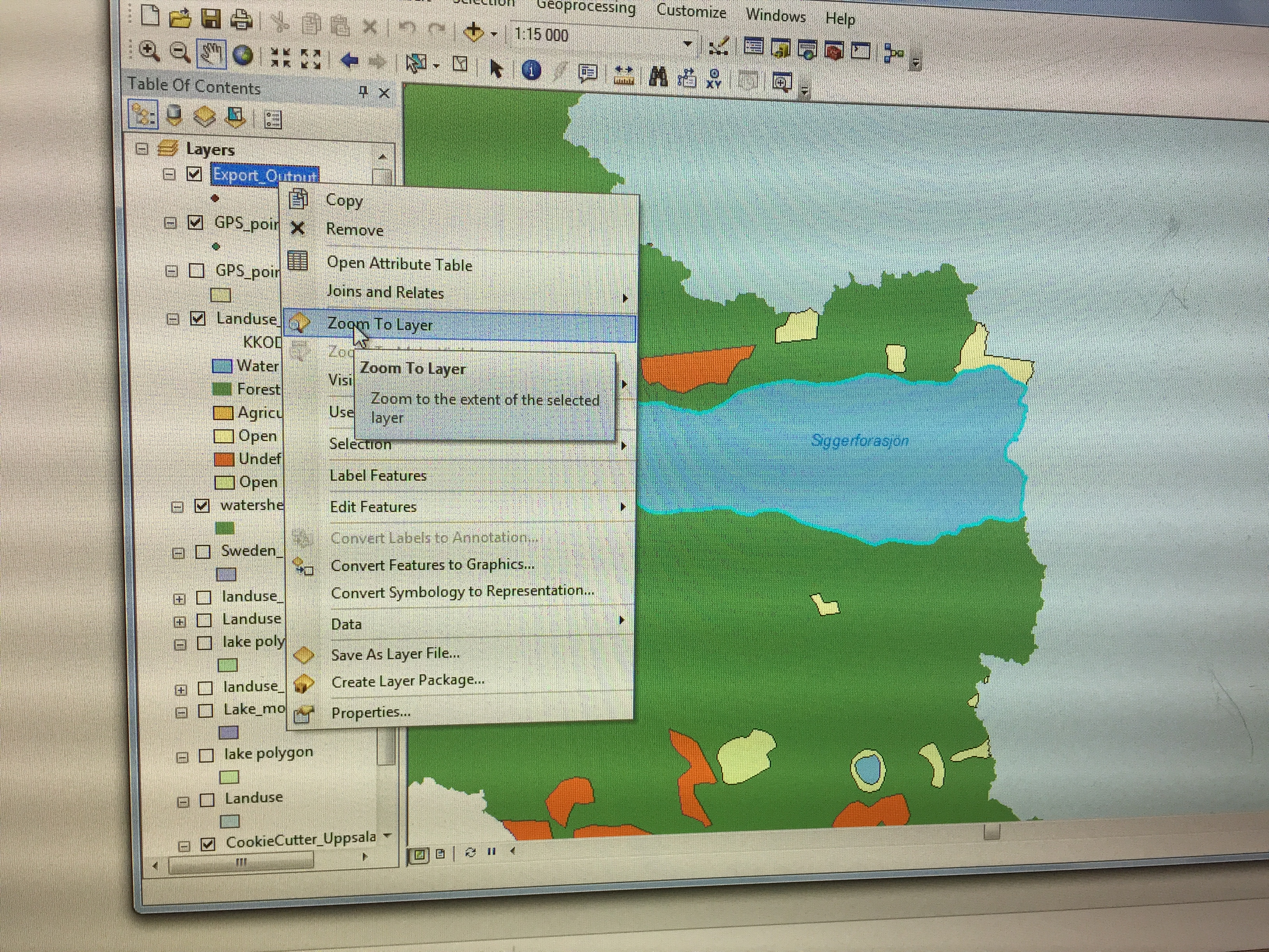
 (I want the two points showing on the map, they are supposed to be on the lake)


